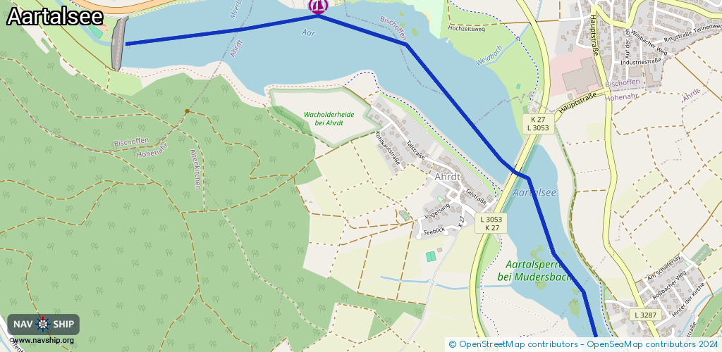
Waterway information

Kind:
Lower
Driving areas:
🇩🇪 Germany
Length:
2.8 km¹
¹River kilometers or bank length recorded in NavShip, including river arms and harbor entrances.
Availability:
Completely recorded
Recent Update: 04.05.2023²
² This date indicates when an adjustment last took place in the course of the body of water
Recorded:
Locks: 0
Harbours / marinas: 1
Bridges: 0
Berths: 0
Slipways: 1
Fuelstations: 0
Route:
Please wait, loading route graphic...
Request waterway overview map with symbol legend here (Link).
Information about data associated with this body of water (2 available):
Data by OpenSeaMap (c) OSM contributors, www.openseamap.org
| # | Kind | Coordinates | Name | Information |
|---|---|---|---|---|
| 1 | Marina | 50.70119,8.46688 | 2024-11-27T11:21:07Z | SRCA Segel- und Ruderclub Aartal +49 6444 1211 https://www.srca.de/ |
| 2 | Slipway | 50.70102,8.46552 | small_craft_facility | 2022-07-31T02:24:00Z |