Waterway information

Kind:
Inland
Driving areas:
🇩🇪 Germany
Length:
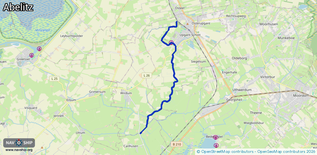
11.9 km¹
¹River kilometers or bank length recorded in NavShip, including river arms and harbor entrances.
Availability:
Completely recorded
Recent Update: 25.04.2025²
² This date indicates when an adjustment last took place in the course of the body of water
Recorded:
Locks: 0
Harbours / marinas: 1
Bridges: 3
Berths: 0
Slipways: 0
Fuelstations: 0
Route:
Please wait, loading route graphic...
Request waterway overview map with symbol legend here (Link).
Information about data associated with this body of water (4 available):
Data by OpenSeaMap (c) OSM contributors, www.openseamap.org
| # | Kind | Coordinates | Name | Information |
|---|---|---|---|---|
| 1 | Marina | 53.51079,7.25471 | 2025-11-17T09:43:40Z | WSV Brookmerland +49 4934 496756 https://wsvbrookmerland.reemtsonline.de/index.php |
| 2 | Bridge | 53.50699,7.25955 | Unknown | Clearance height: 2014-05-01T16:57:43Z m Maximum passage width: 2 m fixed |
| 3 | Bridge | 53.47075,7.24443 | Unknown | Clearance height: 2014-05-01T16:57:39Z m Maximum passage width: 2 m fixed |
| 4 | Bridge | 53.46115,7.22887 | Unknown | Clearance height: 2019-01-24T22:47:25Z m Maximum passage width: 2.1 m fixed |