Waterway information

Kind:
Inland
Driving areas:
🇩🇪 Germany
Length:
10.7 km¹
¹River kilometers or bank length recorded in NavShip, including river arms and harbor entrances.
Availability:
Completely recorded
Recent Update: 10.01.2023²
² This date indicates when an adjustment last took place in the course of the body of water
Recorded:
Locks: 0
Harbours / marinas: 0
Bridges: 5
Berths: 0
Slipways: 0
Fuelstations: 0
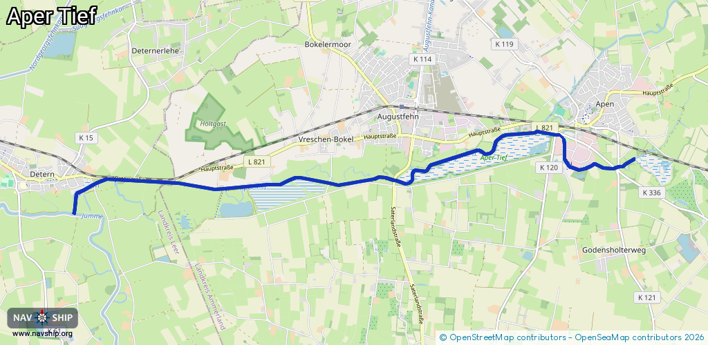
Route:
Please wait, loading route graphic...
Request waterway overview map with symbol legend here (Link).
Information about data associated with this body of water (5 available):
Data by OpenSeaMap (c) OSM contributors, www.openseamap.org
| # | Kind | Coordinates | Name | Information |
|---|---|---|---|---|
| 1 | Bridge | 53.21234,7.76138 | Unknown | Clearance height: 2025-10-06T20:39:17Z m bascule |
| 2 | Bridge | 53.21007,7.75742 | Unknown | Clearance height: 2014-04-30T11:07:54Z m fixed |
| 3 | Bridge | 53.20958,7.74124 | Unknown | Clearance height: 2023-02-02T18:55:00Z m fixed |
| 4 | Bridge | 53.20878,7.71514 | Unknown | Clearance height: 2014-04-30T11:07:57Z m fixed |
| 5 | Bridge | 53.20935,7.68267 | Unknown | Clearance height: 2014-04-30T11:07:54Z m fixed |