Waterway information

Kind:
Inland
Driving areas:
🇬🇧 United Kingdom
Length:
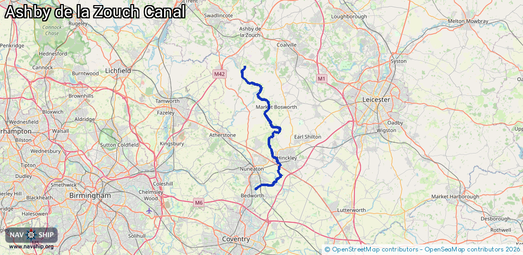
35.7 km¹
¹River kilometers or bank length recorded in NavShip, including river arms and harbor entrances.
Availability:
Completely recorded
Recent Update: 05.01.2024²
² This date indicates when an adjustment last took place in the course of the body of water
Recorded:
Locks: 1
Harbours / marinas: 4
Bridges: 0
Berths: 0
Slipways: 0
Fuelstations: 0
Route:
Please wait, loading route graphic...
Request waterway overview map with symbol legend here (Link).
Information about data associated with this body of water (4 available):
Data by OpenSeaMap (c) OSM contributors, www.openseamap.org
| # | Kind | Coordinates | Name | Information |
|---|---|---|---|---|
| 1 | Marina | 52.6863,-1.48916 | 2021-12-26T09:37:05Z | Snarestone Wharf |
| 2 | Marina | 52.62644,-1.42462 | 2021-12-13T14:43:08Z | Bosworth Marina |
| 3 | Marina | 52.57081,-1.42269 | 2021-10-19T02:06:57Z | Canal Wharf |
| 4 | Marina | 52.55518,-1.41579 | 2021-05-18T23:12:59Z | The Barge |
| 4 | Marina | 52.55518,-1.41579 | 2021-05-18T23:12:59Z | The Barge |