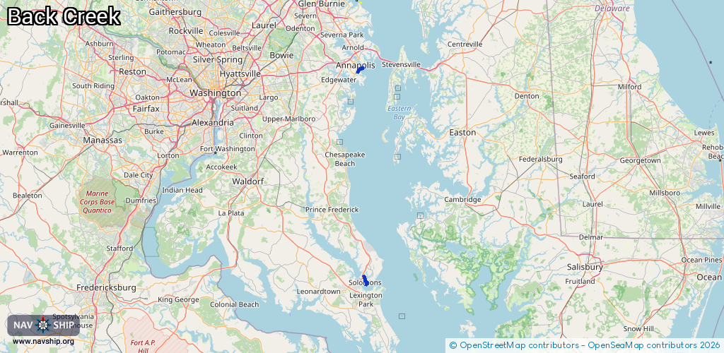
Waterway information

Kind:
Inland
Driving areas:
🌊 Atlantic Ocean🇺🇸 United States of America
Length:
7.9 km¹
¹River kilometers or bank length recorded in NavShip, including river arms and harbor entrances.
Availability:
Completely recorded
Recent Update: 01.04.2025²
² This date indicates when an adjustment last took place in the course of the body of water
Recorded:
Locks: 0
Harbours / marinas: 12
Bridges: 0
Berths: 0
Slipways: 0
Fuelstations: 0
Route:
Please wait, loading route graphic...
Request waterway overview map with symbol legend here (Link).
Information about data associated with this body of water (12 available):
Data by OpenSeaMap (c) OSM contributors, www.openseamap.org
| # | Kind | Coordinates | Name | Information |
|---|---|---|---|---|
| 1 | Marina | 38.32031,-76.45465 | 2020-04-21T14:21:49Z | Harbor Island Marina [email protected] +1 410 326 3441 https://www.harborislandmarina.net/ |
| 2 | Marina | 38.32328,-76.45713 | 2020-04-21T14:21:49Z | Solomons Yachting Center [email protected] +1 410 326 2401 https://solomonsyachtingcenter.net/ |
| 3 | Marina | 38.32893,-76.45878 | 2020-04-21T14:21:49Z | |
| 4 | Marina | 38.33265,-76.46167 | 2025-06-23T02:25:26Z | |
| 5 | Marina | 38.33439,-76.46218 | 2025-06-23T02:25:26Z | |
| 6 | Marina | 38.33487,-76.46144 | 2025-12-20T21:59:01Z | |
| 7 | Marina | 38.33842,-76.46178 | 2025-06-23T02:12:34Z | |
| 8 | Marina | 38.33697,-76.4623 | 2025-12-20T21:59:01Z | |
| 9 | Marina | 38.33838,-76.4641 | 2025-06-23T02:25:26Z | |
| 10 | Marina | 38.96838,-76.47687 | 2020-05-19T21:33:26Z | Eastport Yacht Center |
| 11 | Marina | 38.9694,-76.47933 | 2022-11-14T15:39:07Z | Allsop Marine |
| 12 | Marina | 38.96032,-76.48215 | 2022-09-17T16:18:19Z | Bert Jabin's Yacht Yard [email protected] +1 410 268 9667 https://www.bjyy.com |