Waterway information

Kind:
Inland
Driving areas:
🌊 Atlantic Ocean🇬🇧 United Kingdom
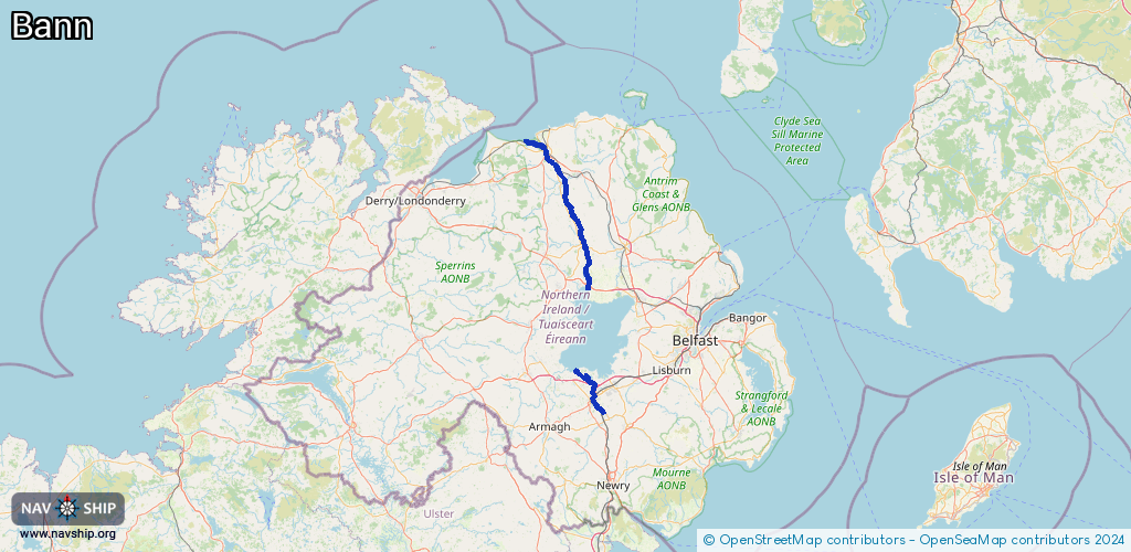
Length:
82.6 km¹
¹River kilometers or bank length recorded in NavShip, including river arms and harbor entrances.
Availability:
Completely recorded
Recent Update: 10.04.2025²
² This date indicates when an adjustment last took place in the course of the body of water
Recorded:
Locks: 5
Harbours / marinas: 2
Bridges: 0
Berths: 0
Slipways: 0
Fuelstations: 0
Route:
Please wait, loading route graphic...
Request waterway overview map with symbol legend here (Link).
Information about data associated with this body of water (7 available):
Data by OpenSeaMap (c) OSM contributors, www.openseamap.org
| # | Kind | Coordinates | Name | Information |
|---|---|---|---|---|
| 1 | Marina | 54.87445,-6.48221 | 2025-04-07T17:38:07Z | Portglenone Marina |
| 2 | Marina | 55.14435,-6.67608 | 2021-06-01T13:35:52Z | Coleraine Marina |
| 3 | Lock | 54.75064,-6.46498 | Unknown | |
| 4 | Lock | 54.94989,-6.53584 | Unknown | |
| 5 | Lock | 54.98596,-6.5683 | Unknown | |
| 6 | Lock | 55.00031,-6.57534 | Unknown | |
| 7 | Lock | 55.11275,-6.66195 | Unknown |