Waterway information

Kind:
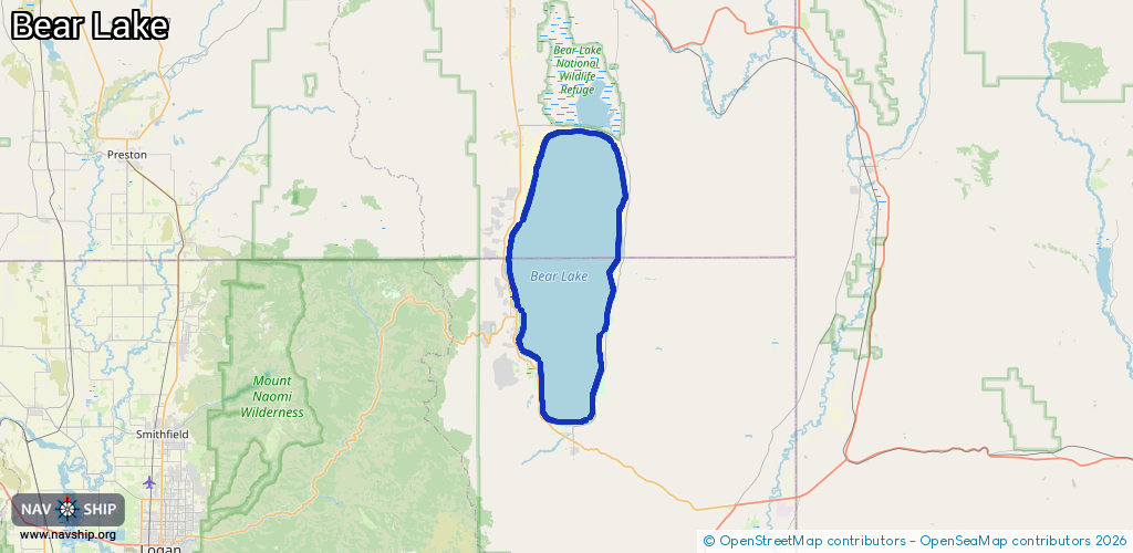
Lake
Driving areas:
🇺🇸 United States of America
Length:
72.9 km¹
¹River kilometers or bank length recorded in NavShip, including river arms and harbor entrances.
Availability:
Completely recorded
Recent Update: 20.11.2023²
² This date indicates when an adjustment last took place in the course of the body of water
Recorded:
Locks: 0
Harbours / marinas: 4
Bridges: 0
Berths: 0
Slipways: 1
Fuelstations: 0
Route:
Please wait, loading route graphic...
Request waterway overview map with symbol legend here (Link).
Information about data associated with this body of water (5 available):
Data by OpenSeaMap (c) OSM contributors, www.openseamap.org
| # | Kind | Coordinates | Name | Information |
|---|---|---|---|---|
| 1 | Marina | 42.05768,-111.25621 | 2022-06-13T22:34:45Z | |
| 2 | Marina | 41.9075,-111.37027 | 2024-04-29T21:00:55Z | |
| 3 | Marina | 41.9096,-111.37904 | 2022-05-17T22:06:49Z | Ideal Beach Marina |
| 4 | Marina | 41.96497,-111.39699 | 2023-07-11T18:14:11Z | Bear Lake State Park Marina |
| 5 | Slipway | 41.96519,-111.39846 | Unknown | 2023-07-11T18:14:11Z |