Waterway information

Kind:
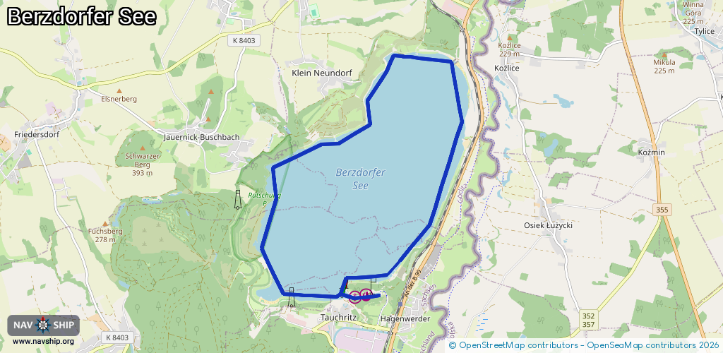
Lake
Driving areas:
🇩🇪 Germany🇵🇱 Poland
Length:
13 km¹
¹River kilometers or bank length recorded in NavShip, including river arms and harbor entrances.
Availability:
Completely recorded
Recent Update: 16.11.2021²
² This date indicates when an adjustment last took place in the course of the body of water
Recorded:
Locks: 0
Harbours / marinas: 2
Bridges: 0
Berths: 0
Slipways: 1
Fuelstations: 0
Route:
Please wait, loading route graphic...
Request waterway overview map with symbol legend here (Link).
Information about data associated with this body of water (3 available):
Data by OpenSeaMap (c) OSM contributors, www.openseamap.org
| # | Kind | Coordinates | Name | Information |
|---|---|---|---|---|
| 1 | Marina | 51.0717,14.95195 | 2025-08-20T19:45:37Z | Marina Görlitz - Hafen Tauchritz https://hafen-goerlitz.eu |
| 2 | Marina | 51.07135,14.94924 | 2017-10-21T17:47:44Z | Hafen Hagenwerder |
| 3 | Slipway | 51.07202,14.95408 | shoreline_construction | 2025-11-06T19:04:30Z |