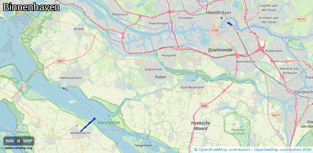
Waterway information

Kind:
Sea
Driving areas:
🇳🇱 Netherlands🌊 North Sea
Length:
3.8 km¹
¹River kilometers or bank length recorded in NavShip, including river arms and harbor entrances.
Availability:
Completely recorded
Recent Update: 03.12.2024²
² This date indicates when an adjustment last took place in the course of the body of water
Recorded:
Locks: 0
Harbours / marinas: 2
Bridges: 3
Berths: 0
Slipways: 1
Fuelstations: 2
Route:
Please wait, loading route graphic...
Request waterway overview map with symbol legend here (Link).
Information about data associated with this body of water (8 available):
Data by OpenSeaMap (c) OSM contributors, www.openseamap.org
| # | Kind | Coordinates | Name | Information |
|---|---|---|---|---|
| 1 | Marina | 51.76074,4.16731 | 2021-03-08T17:17:26Z | Watersportvereniging Flacquee https://wvflacquee.nl/ |
| 2 | Marina | 51.9098,4.49902 | 2025-02-07T14:22:47Z | Rotterdam Marina |
| 3 | Bridge | 51.77373,4.19028 | 7 | Clearance height: 2022-06-06T15:01:47Z m Maximum passage width: 4.5 m Movable bridge (e.g. lifting bridge or drawbridge) opening |
| 4 | Bridge | 51.9086,4.50077 | 8.8 | Clearance height: 2022-06-06T15:35:37Z m Maximum passage width: 2.9 m Movable bridge (e.g. lifting bridge or drawbridge) opening Mo-Fr 00:00-07:30,09:00-16:00,18:00-24:00, PH,Sa,Su 00:00-24:00 |
| 5 | Bridge | 51.91055,4.49618 | 21.3 | Clearance height: 2022-06-06T15:30:15Z m Maximum passage width: 2.1 m Movable bridge (e.g. lifting bridge or drawbridge) opening Mo-Fr 00:00-07:30,09:00-16:00,18:00-24:00, PH,Sa,Su 00:00-24:00 |
| 6 | Slipway | 51.77261,4.19087 | small_craft_facility | 2023-07-14T22:08:25Z Trailerhelling Middelharnis Havenhoofd |
| 7 | Fuel station | 51.91051,4.50088 | 2016-12-01T06:39:24Z | Tankstation: City Marina 9:00-18:00, alleen met creditcard |
| 8 | Fuel station | 51.91054,4.49686 | 2025-02-07T14:22:47Z |