Waterway information

Kind:
Inland
Driving areas:
🌊 Black Sea🇧🇬 Bulgaria
Length:
19.8 km¹
¹River kilometers or bank length recorded in NavShip, including river arms and harbor entrances.
Availability:
Completely recorded
Recent Update: 04.01.2024²
² This date indicates when an adjustment last took place in the course of the body of water
Recorded:
Locks: 0
Harbours / marinas: 5
Bridges: 0
Berths: 1
Slipways: 0
Fuelstations: 0
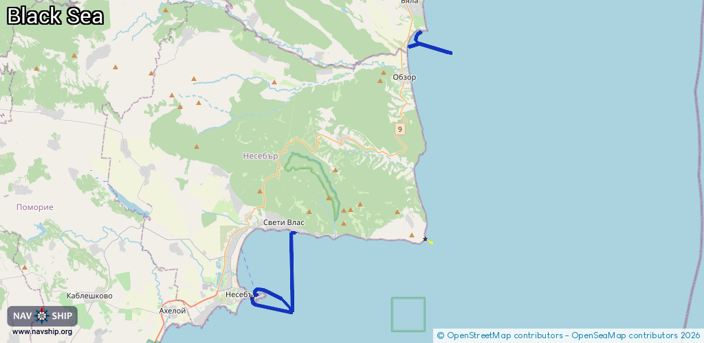
Route:
Please wait, loading route graphic...
Request waterway overview map with symbol legend here (Link).
Information about data associated with this body of water (6 available):
Data by OpenSeaMap (c) OSM contributors, www.openseamap.org
| # | Kind | Coordinates | Name | Information |
|---|---|---|---|---|
| 1 | Marina | 42.65974,27.73241 | 2021-08-17T09:11:31Z | |
| 2 | Marina | 42.65753,27.73041 | 2025-09-14T19:42:32Z | |
| 3 | Marina | 42.65824,27.72579 | 2020-12-30T10:43:25Z | Яхтено пристанище |
| 4 | Marina | 42.85398,27.89593 | 2015-08-26T10:37:56Z | Пристанище Бяла |
| 5 | Marina | 42.70681,27.76754 | 2023-09-29T05:24:25Z | Marina Dinevi |
| 6 | Berth | 42.84289,27.88266 | 2015-08-26T10:14:01Z |