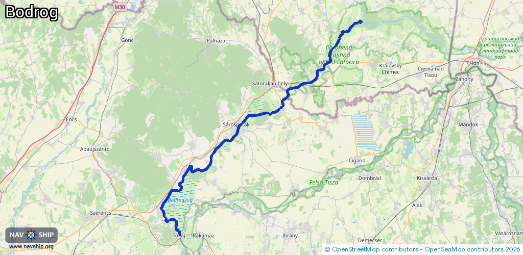
Waterway information

Kind:
Inland
Driving areas:
🇭🇺 Hungary🇸🇰 Slovakia
Length:
75.5 km¹
¹River kilometers or bank length recorded in NavShip, including river arms and harbor entrances.
Availability:
Completely recorded
Recent Update: 08.08.2023²
² This date indicates when an adjustment last took place in the course of the body of water
Recorded:
Locks: 0
Harbours / marinas: 3
Bridges: 0
Berths: 0
Slipways: 0
Fuelstations: 0
Route:
Please wait, loading route graphic...
Request waterway overview map with symbol legend here (Link).
Information about data associated with this body of water (3 available):
Data by OpenSeaMap (c) OSM contributors, www.openseamap.org
| # | Kind | Coordinates | Name | Information |
|---|---|---|---|---|
| 1 | Marina | 48.40086,21.77427 | 2023-10-22T13:54:30Z | Riečny prístav Ladmovce |
| 2 | Marina | 48.39514,21.74861 | 2024-04-22T09:04:27Z | Prístav Viničky |
| 3 | Marina | 48.28639,21.52408 | 2022-07-26T09:40:06Z |