Waterway information

Kind:
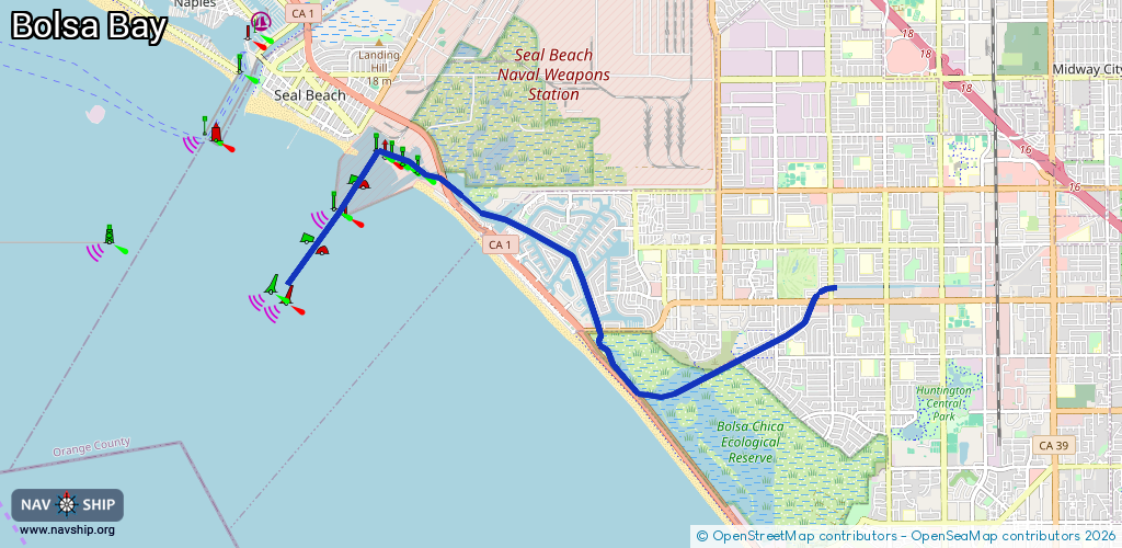
Inland
Driving areas:
🌊 Pacific Ocean🇺🇸 United States of America
Length:
11.3 km¹
¹River kilometers or bank length recorded in NavShip, including river arms and harbor entrances.
Availability:
Completely recorded
Recent Update: 20.11.2023²
² This date indicates when an adjustment last took place in the course of the body of water
Recorded:
Locks: 0
Harbours / marinas: 0
Bridges: 0
Berths: 0
Slipways: 1
Fuelstations: 1
Route:
Please wait, loading route graphic...
Request waterway overview map with symbol legend here (Link).
Information about data associated with this body of water (2 available):
Data by OpenSeaMap (c) OSM contributors, www.openseamap.org
| # | Kind | Coordinates | Name | Information |
|---|---|---|---|---|
| 1 | Slipway | 33.72879,-118.07675 | small_craft_facility | 2013-05-12T15:22:10Z by car |
| 2 | Fuel station | 33.72841,-118.08175 | 2015-10-15T08:08:25Z | Mariners Point Jun-Aug: 06:00-18:00, Dec-Feb: 07:00-17:00 |