Waterway information

Kind:
Inland
Driving areas:
🌊 Atlantic Ocean🇬🇧 United Kingdom
Length:
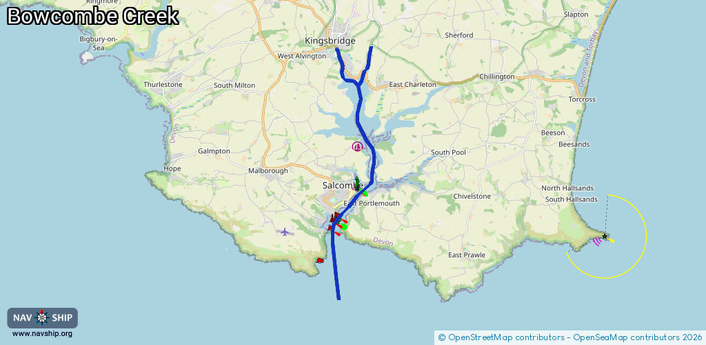
11.5 km¹
¹River kilometers or bank length recorded in NavShip, including river arms and harbor entrances.
Availability:
Completely recorded
Recent Update: 24.06.2025²
² This date indicates when an adjustment last took place in the course of the body of water
Recorded:
Locks: 0
Harbours / marinas: 1
Bridges: 0
Berths: 1
Slipways: 1
Fuelstations: 1
Route:
Please wait, loading route graphic...
Request waterway overview map with symbol legend here (Link).
Information about data associated with this body of water (4 available):
Data by OpenSeaMap (c) OSM contributors, www.openseamap.org
| # | Kind | Coordinates | Name | Information |
|---|---|---|---|---|
| 1 | Marina | 50.25115,-3.76547 | 2022-06-27T09:19:19Z | Lincombe Boatyard |
| 2 | Slipway | 50.23857,-3.76664 | small_craft_facility | 2025-07-07T19:18:50Z |
| 3 | Berth | 50.23804,-3.76641 | 2022-10-28T12:34:09Z | |
| 4 | Fuel station | 50.23762,-3.76043 | 2023-05-31T13:42:10Z | Fuel Barge |