Waterway information

Kind:
Inland
Driving areas:
🇺🇸 United States of America
Length:
34.1 km¹
¹River kilometers or bank length recorded in NavShip, including river arms and harbor entrances.
Availability:
Completely recorded
Recent Update: 02.04.2024²
² This date indicates when an adjustment last took place in the course of the body of water
Recorded:
Locks: 0
Harbours / marinas: 2
Bridges: 0
Berths: 0
Slipways: 0
Fuelstations: 0
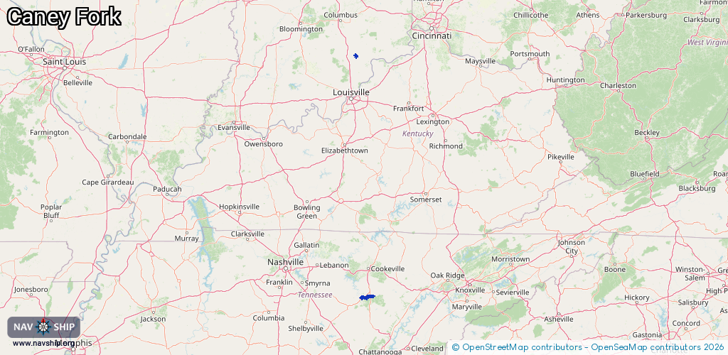
Route:
Please wait, loading route graphic...
Request waterway overview map with symbol legend here (Link).
Information about data associated with this body of water (2 available):
Data by OpenSeaMap (c) OSM contributors, www.openseamap.org
| # | Kind | Coordinates | Name | Information |
|---|---|---|---|---|
| 1 | Marina | 38.78315,-85.70569 | 2022-08-23T17:56:17Z | |
| 2 | Marina | 35.80291,-85.60874 | 2025-11-09T12:07:48Z | Cotten's Marina & Restaurant [email protected] +1-931-686-4373 https://www.facebook.com/cottensmarina/ |