Waterway information

Kind:
Inland
Driving areas:
🇺🇸 United States of America
Length:
88.4 km¹
¹River kilometers or bank length recorded in NavShip, including river arms and harbor entrances.
Availability:
Completely recorded
Recent Update: 03.04.2024²
² This date indicates when an adjustment last took place in the course of the body of water
Recorded:
Locks: 0
Harbours / marinas: 2
Bridges: 4
Berths: 0
Slipways: 3
Fuelstations: 0
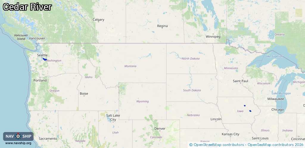
Route:
Please wait, loading route graphic...
Request waterway overview map with symbol legend here (Link).
Information about data associated with this body of water (9 available):
Data by OpenSeaMap (c) OSM contributors, www.openseamap.org
| # | Kind | Coordinates | Name | Information |
|---|---|---|---|---|
| 1 | Marina | 42.00366,-91.69315 | 2022-03-21T22:57:12Z | Ellis Harbor |
| 2 | Marina | 42.54003,-92.45094 | 2023-05-16T08:38:33Z | |
| 3 | Bridge | 47.37479,-121.97146 | Unknown | Clearance height: 2024-06-18T17:05:28Z m Movable bridge (e.g. lifting bridge or drawbridge) |
| 4 | Bridge | 47.38444,-121.99216 | Unknown | Clearance height: 2022-07-15T20:43:21Z m Movable bridge (e.g. lifting bridge or drawbridge) |
| 5 | Bridge | 47.38905,-122.01829 | Unknown | Clearance height: 2022-07-15T20:43:21Z m Movable bridge (e.g. lifting bridge or drawbridge) |
| 6 | Bridge | 47.39361,-122.03099 | Unknown | Clearance height: 2024-11-22T18:49:17Z m Movable bridge (e.g. lifting bridge or drawbridge) |
| 7 | Slipway | 42.53995,-92.45065 | small_craft_facility | 2023-05-16T08:38:33Z |
| 8 | Slipway | 42.54001,-92.45061 | small_craft_facility | 2023-05-16T08:38:33Z |
| 9 | Slipway | 47.5005,-122.2177 | small_craft_facility | 2026-01-04T05:20:25Z |