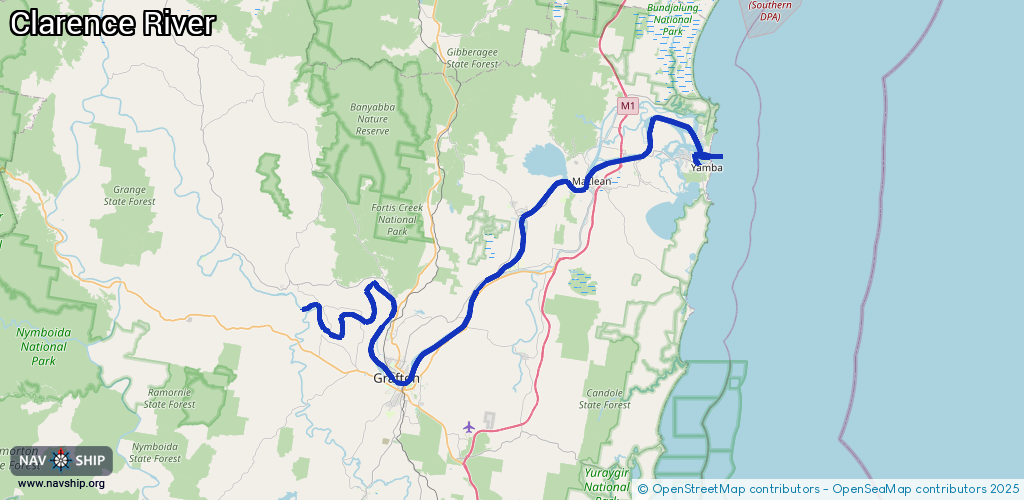
Waterway information

Kind:
Inland
Driving areas:
🇦🇺 Australia🌊 Pacific Ocean
Length:
109.6 km¹
¹River kilometers or bank length recorded in NavShip, including river arms and harbor entrances.
Availability:
Completely recorded
Recent Update: 08.05.2025²
² This date indicates when an adjustment last took place in the course of the body of water
Recorded:
Locks: 0
Harbours / marinas: 2
Bridges: 0
Berths: 2
Slipways: 0
Fuelstations: 0
Route:
Please wait, loading route graphic...
Request waterway overview map with symbol legend here (Link).
Information about data associated with this body of water (4 available):
Data by OpenSeaMap (c) OSM contributors, www.openseamap.org
| # | Kind | Coordinates | Name | Information |
|---|---|---|---|---|
| 1 | Marina | -29.43584,153.348 | 2025-04-24T08:08:00Z | Yamba Marina https://www.yambamarina.com.au/ |
| 2 | Marina | -29.41429,153.35451 | 2025-04-24T08:08:00Z | |
| 3 | Berth | -29.38159,153.3041 | 2024-08-19T03:54:47Z | |
| 4 | Berth | -29.41708,153.35411 | 2013-12-23T11:39:48Z |