Waterway information

Kind:
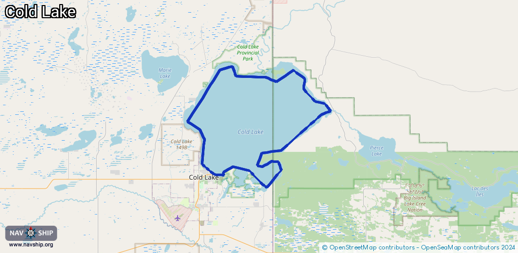
Lake
Driving areas:
🇨🇦 Canada
Length:
85.7 km¹
¹River kilometers or bank length recorded in NavShip, including river arms and harbor entrances.
Availability:
Completely recorded
Recent Update: 20.11.2023²
² This date indicates when an adjustment last took place in the course of the body of water
Recorded:
Locks: 0
Harbours / marinas: 1
Bridges: 0
Berths: 0
Slipways: 2
Fuelstations: 0
Route:
Please wait, loading route graphic...
Request waterway overview map with symbol legend here (Link).
Information about data associated with this body of water (3 available):
Data by OpenSeaMap (c) OSM contributors, www.openseamap.org
| # | Kind | Coordinates | Name | Information |
|---|---|---|---|---|
| 1 | Marina | 54.46549,-110.17029 | 2022-10-14T09:43:08Z | Cold Lake Marina |
| 2 | Slipway | 54.46499,-110.16959 | Unknown | 2016-02-24T16:08:47Z |
| 3 | Slipway | 54.46501,-110.16967 | Unknown | 2016-02-24T16:08:47Z |