Waterway information

Kind:
Inland
Driving areas:
🌊 Atlantic Ocean🇺🇸 United States of America
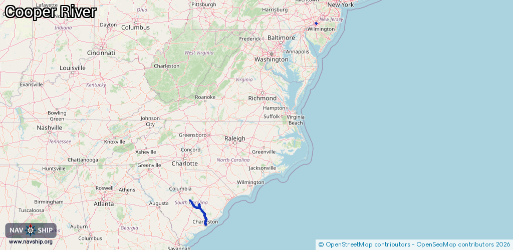
Length:
196.4 km¹
¹River kilometers or bank length recorded in NavShip, including river arms and harbor entrances.
Availability:
Completely recorded
Recent Update: 15.05.2025²
² This date indicates when an adjustment last took place in the course of the body of water
Recorded:
Locks: 1
Harbours / marinas: 10
Bridges: 0
Berths: 0
Slipways: 2
Fuelstations: 0
Route:
Please wait, loading route graphic...
Request waterway overview map with symbol legend here (Link).
Information about data associated with this body of water (13 available):
Data by OpenSeaMap (c) OSM contributors, www.openseamap.org
| # | Kind | Coordinates | Name | Information |
|---|---|---|---|---|
| 1 | Marina | 39.92439,-75.06697 | 2020-05-19T21:33:26Z | Cooper River Yacht Club |
| 2 | Marina | 32.8326,-79.93351 | 2025-12-05T04:29:18Z | Cooper River Marina +1-843-554-0790 https://www.ccprc.com/index.aspx?nid=67 |
| 3 | Marina | 32.83186,-79.93565 | 2022-08-18T16:14:41Z | Cooper River Marina |
| 4 | Marina | 33.21344,-79.98089 | 2022-07-08T09:21:07Z | Hidden Cove Marina |
| 5 | Marina | 33.49995,-80.45797 | 2022-03-09T14:29:25Z | |
| 6 | Marina | 33.54185,-80.21458 | 2024-10-09T19:50:38Z | |
| 7 | Marina | 33.52513,-80.20206 | 2024-10-09T19:39:44Z | |
| 8 | Marina | 33.52486,-80.20025 | 2024-10-09T19:39:44Z | |
| 9 | Marina | 33.56744,-80.43716 | 2022-03-09T14:55:12Z | |
| 10 | Marina | 33.57285,-80.43921 | 2024-10-10T16:23:18Z | |
| 11 | Slipway | 33.52556,-80.20179 | Unknown | 2024-10-09T19:37:28Z |
| 12 | Slipway | 33.57315,-80.43888 | Unknown | 2024-10-10T16:23:18Z |
| 13 | Lock | 33.24408,-79.99164 | Unknown |