Waterway information

Kind:
Inland
Driving areas:
🇺🇸 United States of America
Length:
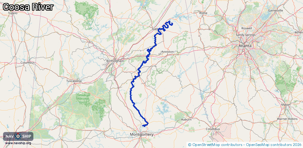
334 km¹
¹River kilometers or bank length recorded in NavShip, including river arms and harbor entrances.
Availability:
Completely recorded
Recent Update: 09.04.2024²
² This date indicates when an adjustment last took place in the course of the body of water
Recorded:
Locks: 0
Harbours / marinas: 2
Bridges: 2
Berths: 0
Slipways: 0
Fuelstations: 0
Route:
Please wait, loading route graphic...
Request waterway overview map with symbol legend here (Link).
Information about data associated with this body of water (4 available):
Data by OpenSeaMap (c) OSM contributors, www.openseamap.org
| # | Kind | Coordinates | Name | Information |
|---|---|---|---|---|
| 1 | Marina | 34.01034,-85.99641 | 2025-04-13T19:50:19Z | Coosa Landing [email protected] +1 205-549-4677 https://www.cityofgadsden.com/317/Coosa-Landing-Marina |
| 2 | Marina | 32.53562,-86.20831 | 2022-02-08T21:08:01Z | Boat Ramp |
| 3 | Bridge | 32.79424,-86.43031 | Unknown | Clearance height: 2023-06-14T14:28:58Z m Movable bridge (e.g. lifting bridge or drawbridge) |
| 4 | Bridge | 32.79422,-86.43031 | Unknown | Clearance height: 2023-06-14T14:28:58Z m Movable bridge (e.g. lifting bridge or drawbridge) |