Waterway information

Kind:
Inland
Driving areas:
🇺🇸 United States of America
Length:
34.4 km¹
¹River kilometers or bank length recorded in NavShip, including river arms and harbor entrances.
Availability:
Completely recorded
Recent Update: 27.11.2024²
² This date indicates when an adjustment last took place in the course of the body of water
Recorded:
Locks: 0
Harbours / marinas: 3
Bridges: 0
Berths: 0
Slipways: 0
Fuelstations: 1
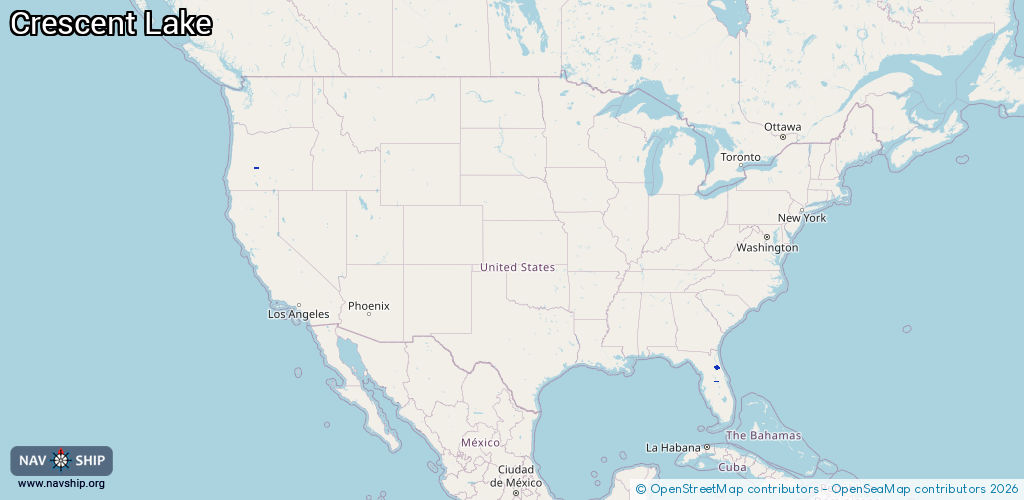
Route:
Please wait, loading route graphic...
Request waterway overview map with symbol legend here (Link).
Information about data associated with this body of water (4 available):
Data by OpenSeaMap (c) OSM contributors, www.openseamap.org
| # | Kind | Coordinates | Name | Information |
|---|---|---|---|---|
| 1 | Marina | 29.44341,-81.50741 | 2024-11-22T10:21:57Z | Crescent Fish Camp Marina, Fish Camp and RV Park +1-386-698-2444 https://outdooradventureretreats.com/crescent-fish-camp/ |
| 2 | Marina | 43.50079,-121.97284 | 2023-04-21T23:21:58Z | Hoodoo Marina |
| 3 | Marina | 28.36929,-81.55813 | 2020-05-19T23:08:03Z | Bayside Marina |
| 4 | Fuel station | 43.5016,-121.97265 | 2023-04-21T23:21:58Z |