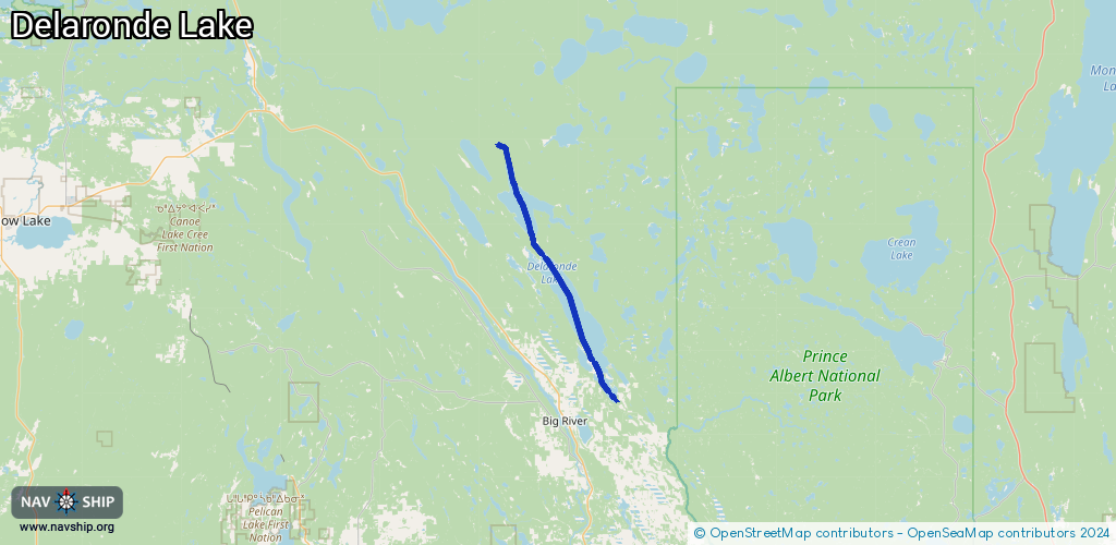
Waterway information

Kind:
Inland
Driving areas:
🇨🇦 Canada
Length:
47.7 km¹
¹River kilometers or bank length recorded in NavShip, including river arms and harbor entrances.
Availability:
Completely recorded
Recent Update: 04.06.2024²
² This date indicates when an adjustment last took place in the course of the body of water
Recorded:
Locks: 0
Harbours / marinas: 2
Bridges: 0
Berths: 5
Slipways: 0
Fuelstations: 0
Route:
Please wait, loading route graphic...
Request waterway overview map with symbol legend here (Link).
Information about data associated with this body of water (7 available):
Data by OpenSeaMap (c) OSM contributors, www.openseamap.org
| # | Kind | Coordinates | Name | Information |
|---|---|---|---|---|
| 1 | Marina | 53.9274,-106.97187 | 2014-01-30T07:38:49Z | |
| 2 | Marina | 53.92089,-106.9629 | 2014-01-30T07:38:50Z | |
| 3 | Berth | 53.92095,-106.96287 | 2013-08-13T22:45:56Z | |
| 4 | Berth | 53.92089,-106.96307 | 2013-08-13T22:45:56Z | |
| 5 | Berth | 53.92098,-106.96277 | 2013-08-13T22:45:56Z | |
| 6 | Berth | 53.92092,-106.96297 | 2013-08-13T22:45:56Z | |
| 7 | Berth | 53.92093,-106.96293 | 2013-08-13T22:45:56Z |