Waterway information

Kind:
Inland
Driving areas:
🇺🇸 United States of America
Length:
16.8 km¹
¹River kilometers or bank length recorded in NavShip, including river arms and harbor entrances.
Availability:
Completely recorded
Recent Update: 05.04.2024²
² This date indicates when an adjustment last took place in the course of the body of water
Recorded:
Locks: 0
Harbours / marinas: 4
Bridges: 0
Berths: 0
Slipways: 1
Fuelstations: 0
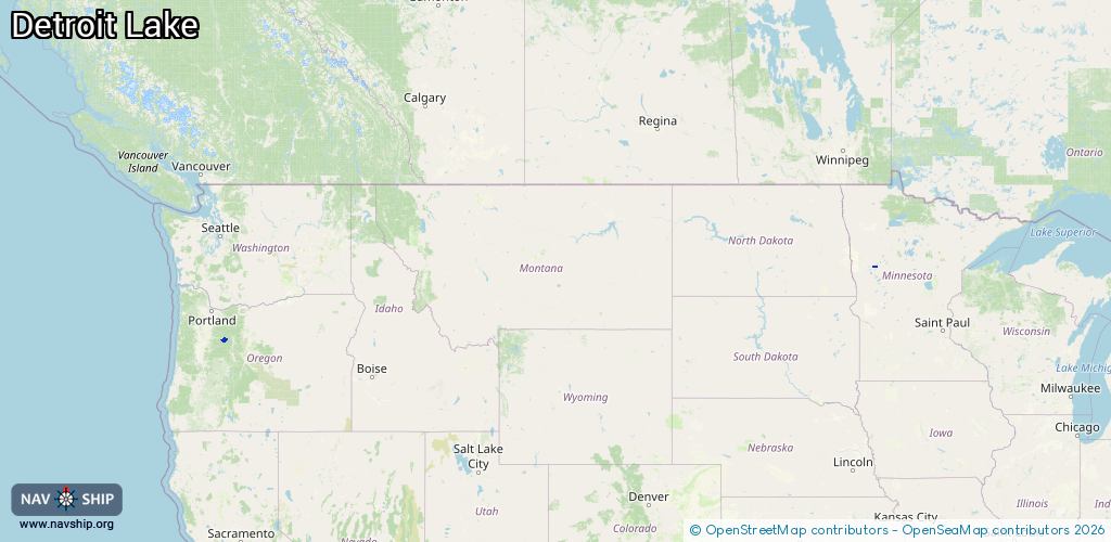
Route:
Please wait, loading route graphic...
Request waterway overview map with symbol legend here (Link).
Information about data associated with this body of water (5 available):
Data by OpenSeaMap (c) OSM contributors, www.openseamap.org
| # | Kind | Coordinates | Name | Information |
|---|---|---|---|---|
| 1 | Marina | 44.73543,-122.1576 | 2024-03-24T12:57:40Z | Kane's Marina |
| 2 | Marina | 44.73897,-122.15165 | 2024-03-24T12:57:40Z | Detroit Lake Marina |
| 3 | Marina | 46.80585,-95.84679 | 2022-06-10T02:49:54Z | J&K Marina |
| 4 | Marina | 46.78137,-95.84705 | 2021-04-20T21:57:23Z | |
| 5 | Slipway | 44.73523,-122.15724 | Unknown | 2018-06-12T07:38:15Z |