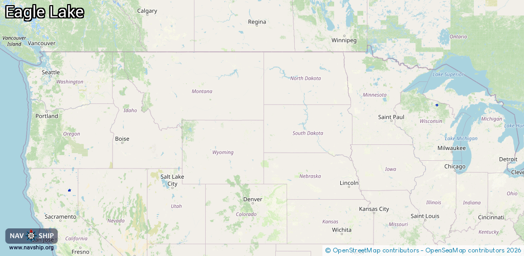
Waterway information

Kind:
Inland
Driving areas:
🇺🇸 United States of America
Length:
13.2 km¹
¹River kilometers or bank length recorded in NavShip, including river arms and harbor entrances.
Availability:
Completely recorded
Recent Update: 01.04.2025²
² This date indicates when an adjustment last took place in the course of the body of water
Recorded:
Locks: 0
Harbours / marinas: 9
Bridges: 0
Berths: 0
Slipways: 0
Fuelstations: 0
Route:
Please wait, loading route graphic...
Request waterway overview map with symbol legend here (Link).
Information about data associated with this body of water (9 available):
Data by OpenSeaMap (c) OSM contributors, www.openseamap.org
| # | Kind | Coordinates | Name | Information |
|---|---|---|---|---|
| 1 | Marina | 45.92114,-89.17998 | 2021-10-17T03:19:52Z | |
| 2 | Marina | 45.92068,-89.17908 | 2021-10-17T03:19:52Z | |
| 3 | Marina | 45.92181,-89.18028 | 2021-10-17T03:19:52Z | |
| 4 | Marina | 45.92101,-89.19517 | 2021-10-17T03:19:52Z | |
| 5 | Marina | 45.92234,-89.19425 | 2021-10-17T03:19:52Z | |
| 6 | Marina | 45.92303,-89.19583 | 2021-10-17T03:19:52Z | |
| 7 | Marina | 45.93448,-89.20002 | 2021-10-17T03:19:52Z | |
| 8 | Marina | 45.93553,-89.20054 | 2021-10-17T03:19:52Z | |
| 9 | Marina | 40.55763,-120.78183 | 2022-04-23T19:18:57Z | Gallatin Marina |