Waterway information

Kind:
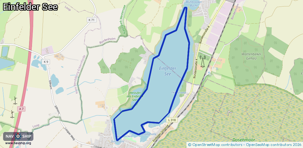
Lake
Driving areas:
🇩🇪 Germany
Length:
6.5 km¹
¹River kilometers or bank length recorded in NavShip, including river arms and harbor entrances.
Availability:
Completely recorded
Recent Update: 22.05.2025²
² This date indicates when an adjustment last took place in the course of the body of water
Recorded:
Locks: 0
Harbours / marinas: 1
Bridges: 0
Berths: 0
Slipways: 4
Fuelstations: 0
Route:
Please wait, loading route graphic...
Request waterway overview map with symbol legend here (Link).
Information about data associated with this body of water (5 available):
Data by OpenSeaMap (c) OSM contributors, www.openseamap.org
| # | Kind | Coordinates | Name | Information |
|---|---|---|---|---|
| 1 | Marina | 54.13444,9.99926 | 2025-05-19T20:13:28Z | Segel-Club Neumünster e.V. |
| 2 | Slipway | 54.13232,9.99819 | shoreline_construction | 2025-05-19T20:12:11Z |
| 3 | Slipway | 54.13405,9.99934 | shoreline_construction | 2025-05-19T20:12:11Z |
| 4 | Slipway | 54.13428,10.00105 | shoreline_construction | 2025-05-19T20:12:11Z |
| 5 | Slipway | 54.13487,10.00282 | shoreline_construction | 2025-05-19T20:12:11Z |