Waterway information

Kind:
Inland
Driving areas:
🇩🇪 Germany
Length:
2.9 km¹
¹River kilometers or bank length recorded in NavShip, including river arms and harbor entrances.
Availability:
Completely recorded
Recent Update: 22.07.2024²
² This date indicates when an adjustment last took place in the course of the body of water
Recorded:
Locks: 0
Harbours / marinas: 2
Bridges: 0
Berths: 0
Slipways: 1
Fuelstations: 1
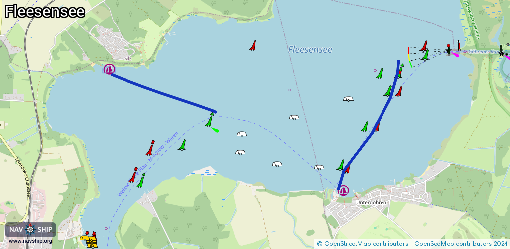
Route:
Please wait, loading route graphic...
Request waterway overview map with symbol legend here (Link).
Information about data associated with this body of water (4 available):
Data by OpenSeaMap (c) OSM contributors, www.openseamap.org
| # | Kind | Coordinates | Name | Information |
|---|---|---|---|---|
| 1 | Marina | 53.50493,12.44186 | 2023-09-06T23:56:09Z | Heidepark Silz May-Sep [email protected] +49 39927 769804 https://www.heideparksilz.de/index.php/angebot/marina/ausstattung-marina |
| 2 | Marina | 53.49224,12.48196 | 2019-03-21T18:41:20Z | SBS Yachthafenresort Fleesensee +49 39932 4867017 https://www.sbs-fleesensee.de/ |
| 3 | Slipway | 53.49182,12.48063 | small_craft_facility | 2013-05-12T15:20:52Z |
| 4 | Fuel station | 53.49205,12.48061 | 2016-12-22T19:16:01Z |