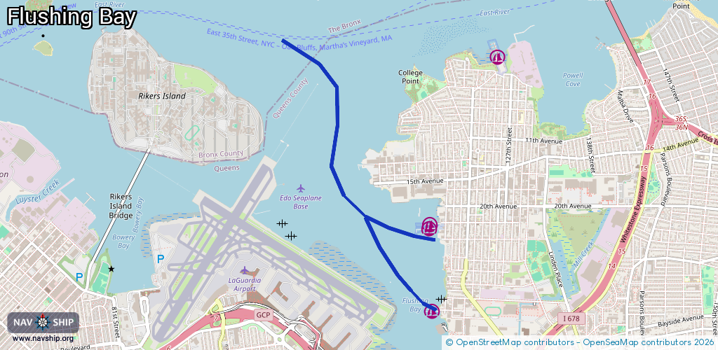
Waterway information

Kind:
Inland
Driving areas:
🌊 Atlantic Ocean🇺🇸 United States of America
Length:
4.2 km¹
¹River kilometers or bank length recorded in NavShip, including river arms and harbor entrances.
Availability:
Completely recorded
Recent Update: 29.01.2024²
² This date indicates when an adjustment last took place in the course of the body of water
Recorded:
Locks: 0
Harbours / marinas: 3
Bridges: 0
Berths: 0
Slipways: 0
Fuelstations: 0
Route:
Please wait, loading route graphic...
Request waterway overview map with symbol legend here (Link).
Information about data associated with this body of water (3 available):
Data by OpenSeaMap (c) OSM contributors, www.openseamap.org
| # | Kind | Coordinates | Name | Information |
|---|---|---|---|---|
| 1 | Marina | 40.77186,-73.84992 | 2021-11-11T14:42:48Z | Williamsburgh Yacht Club |
| 2 | Marina | 40.77997,-73.85 | 2025-07-29T18:23:52Z | Arrow Yacht Club http://www.arrowyachtclub.net |
| 3 | Marina | 40.77956,-73.85018 | 2020-08-02T20:59:51Z |