Waterway information

Kind:
Inland
Driving areas:
🇺🇸 United States of America
Length:
6 km¹
¹River kilometers or bank length recorded in NavShip, including river arms and harbor entrances.
Availability:
Completely recorded
Recent Update: 04.03.2024²
² This date indicates when an adjustment last took place in the course of the body of water
Recorded:
Locks: 0
Harbours / marinas: 3
Bridges: 0
Berths: 0
Slipways: 0
Fuelstations: 0
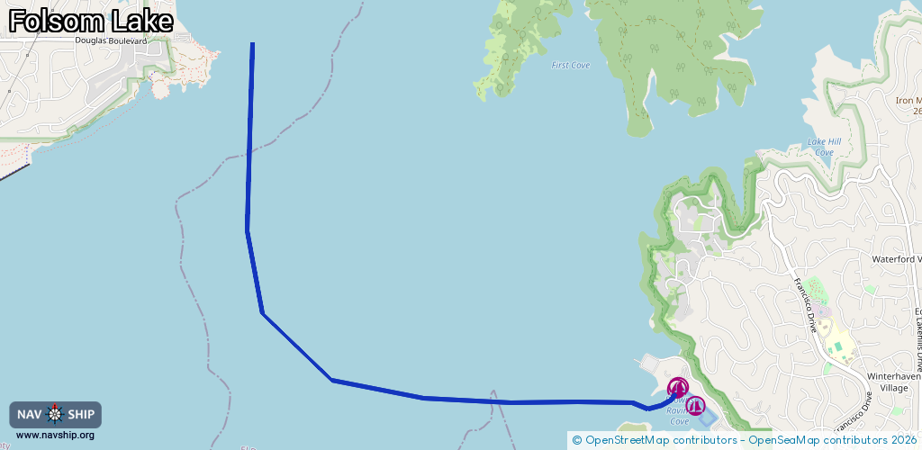
Route:
Please wait, loading route graphic...
Request waterway overview map with symbol legend here (Link).
Information about data associated with this body of water (3 available):
Data by OpenSeaMap (c) OSM contributors, www.openseamap.org
| # | Kind | Coordinates | Name | Information |
|---|---|---|---|---|
| 1 | Marina | 38.71633,-121.0993 | 2022-04-21T01:36:00Z | Brownes Ravine Marina |
| 2 | Marina | 38.7176,-121.10078 | 2021-04-19T19:56:24Z | |
| 3 | Marina | 38.71746,-121.10089 | 2021-04-19T19:56:24Z |