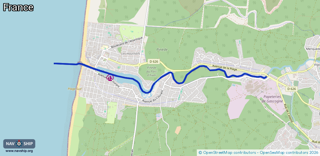
Waterway information

Kind:
Inland
Driving areas:
🌊 Atlantic Ocean🇫🇷 France
Length:
5.5 km¹
¹River kilometers or bank length recorded in NavShip, including river arms and harbor entrances.
Availability:
Completely recorded
Recent Update: 03.07.2023²
² This date indicates when an adjustment last took place in the course of the body of water
Recorded:
Locks: 0
Harbours / marinas: 1
Bridges: 0
Berths: 0
Slipways: 0
Fuelstations: 0
Route:
Please wait, loading route graphic...
Request waterway overview map with symbol legend here (Link).
Information about data associated with this body of water (1 available):
Data by OpenSeaMap (c) OSM contributors, www.openseamap.org
| # | Kind | Coordinates | Name | Information |
|---|---|---|---|---|
| 1 | Marina | 44.20909,-1.29096 | 2024-01-04T15:40:52Z | Halte nautique Située Avenue du Courant et composée de 72 emplacements à l’appontement et de 8 emplacements de mouillage, elle dispose d’un accès sécurisé et d’un parking réservé aux locataires https://www.mimizan.fr/cadre-de-vie/securite/170-domaine-public.html |