Waterway information

Kind:
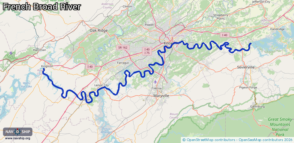
Inland
Driving areas:
🇺🇸 United States of America
Length:
182.9 km¹
¹River kilometers or bank length recorded in NavShip, including river arms and harbor entrances.
Availability:
Completely recorded
Recent Update: 03.10.2025²
² This date indicates when an adjustment last took place in the course of the body of water
Recorded:
Locks: 1
Harbours / marinas: 3
Bridges: 0
Berths: 0
Slipways: 0
Fuelstations: 0
Route:
Please wait, loading route graphic...
Request waterway overview map with symbol legend here (Link).
Information about data associated with this body of water (4 available):
Data by OpenSeaMap (c) OSM contributors, www.openseamap.org
| # | Kind | Coordinates | Name | Information |
|---|---|---|---|---|
| 1 | Marina | 35.95209,-83.53702 | 2023-07-31T02:33:02Z | Mountain Cove Marina https://mountaincovemarina.com/ |
| 2 | Marina | 35.9608,-83.91136 | 2025-07-22T13:59:39Z | Volunteer Landing Marina https://volunteerlandingmarina.com |
| 3 | Marina | 35.95358,-83.91992 | 2021-07-04T16:57:36Z | |
| 4 | Lock | 35.78952,-84.24231 | Unknown |