Waterway information

Kind:
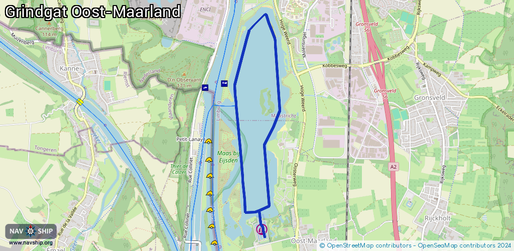
Lake
Driving areas:
🇧🇪 Belgium🇳🇱 Netherlands
Length:
5.5 km¹
¹River kilometers or bank length recorded in NavShip, including river arms and harbor entrances.
Availability:
Completely recorded
Recent Update: 29.06.2023²
² This date indicates when an adjustment last took place in the course of the body of water
Recorded:
Locks: 0
Harbours / marinas: 1
Bridges: 0
Berths: 0
Slipways: 0
Fuelstations: 0
Route:
Please wait, loading route graphic...
Request waterway overview map with symbol legend here (Link).
Information about data associated with this body of water (1 available):
Data by OpenSeaMap (c) OSM contributors, www.openseamap.org
| # | Kind | Coordinates | Name | Information |
|---|---|---|---|---|
| 1 | Marina | 50.79719,5.70174 | 2023-05-30T12:20:44Z | Jachthaven Portofino [email protected] +31 43 409 4517 https://www.jachthaven-portofino.nl/ |