Waterway information

Kind:
Inland
Driving areas:
🇺🇸 United States of America
Length:
73.1 km¹
¹River kilometers or bank length recorded in NavShip, including river arms and harbor entrances.
Availability:
Completely recorded
Recent Update: 12.03.2025²
² This date indicates when an adjustment last took place in the course of the body of water
Recorded:
Locks: 0
Harbours / marinas: 7
Bridges: 0
Berths: 0
Slipways: 0
Fuelstations: 0
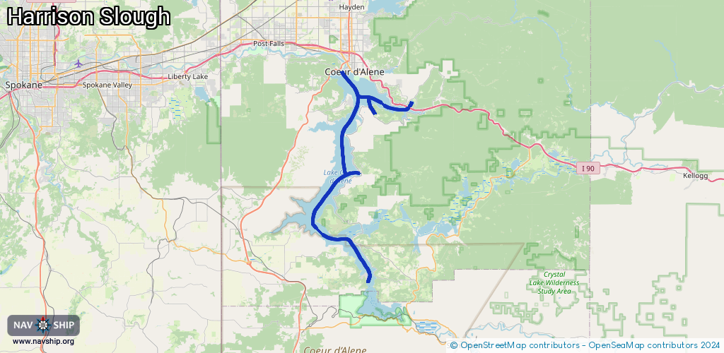
Route:
Please wait, loading route graphic...
Request waterway overview map with symbol legend here (Link).
Information about data associated with this body of water (7 available):
Data by OpenSeaMap (c) OSM contributors, www.openseamap.org
| # | Kind | Coordinates | Name | Information |
|---|---|---|---|---|
| 1 | Marina | 47.62876,-116.7621 | 2025-07-28T01:33:50Z | Panhandle Yacht Club |
| 2 | Marina | 47.54302,-116.77207 | 2023-10-27T18:43:49Z | |
| 3 | Marina | 47.45414,-116.78811 | 2025-02-23T22:19:38Z | Gateway Marina |
| 4 | Marina | 47.40315,-116.75733 | 2024-05-04T18:47:23Z | Conkling Marina & Resort |
| 5 | Marina | 47.48827,-116.91394 | 2024-09-13T01:36:31Z | Sun-Up Bay Resort https://www.sunupbayresort.com/ |
| 6 | Marina | 47.70334,-116.94384 | 2025-03-10T17:22:24Z | Templin's Marina Templin's Hotel |
| 7 | Marina | 47.63069,-116.76827 | 2025-07-26T06:04:02Z | Discovery Marina |