Waterway information

Kind:
Inland
Driving areas:
🇳🇱 Netherlands
Length:
12.7 km¹
¹River kilometers or bank length recorded in NavShip, including river arms and harbor entrances.
Availability:
Completely recorded
Recent Update: 19.06.2023²
² This date indicates when an adjustment last took place in the course of the body of water
Recorded:
Locks: 0
Harbours / marinas: 2
Bridges: 3
Berths: 2
Slipways: 1
Fuelstations: 0
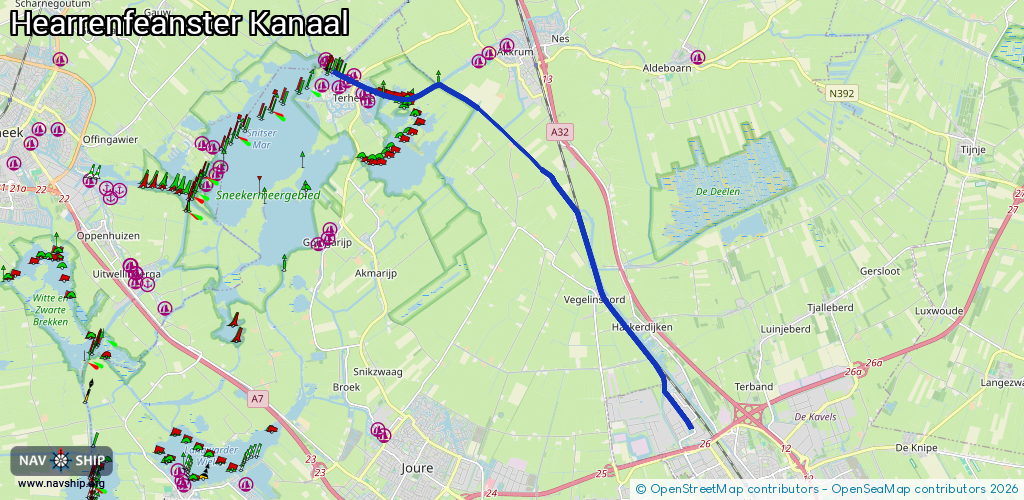
Route:
Please wait, loading route graphic...
Request waterway overview map with symbol legend here (Link).
Information about data associated with this body of water (8 available):
Data by OpenSeaMap (c) OSM contributors, www.openseamap.org
| # | Kind | Coordinates | Name | Information |
|---|---|---|---|---|
| 1 | Marina | 53.03988,5.78579 | 2025-08-10T14:08:16Z | Nerushoek |
| 2 | Marina | 53.04496,5.78112 | 2025-03-02T16:24:50Z | Jachthaven Kaap Hoorn [email protected] https://jachthavenkaaphoorn.nl/ |
| 3 | Bridge | 53.04374,5.78168 | 12 | Clearance height: 2025-03-09T14:00:22Z m Maximum passage width: 2.6 m Movable bridge (e.g. lifting bridge or drawbridge) bascule BB H24 W130 |
| 4 | Bridge | 53.04362,5.78159 | 10 | Clearance height: 2024-01-02T00:12:21Z m Maximum passage width: 2.6 m fixed |
| 5 | Bridge | 53.04386,5.78176 | 10 | Clearance height: 2024-01-02T00:12:21Z m Maximum passage width: 2.6 m fixed |
| 6 | Slipway | 53.04343,5.77969 | small_craft_facility | 2024-11-07T09:20:09Z |
| 7 | Berth | 53.04398,5.80803 | 2023-11-21T00:33:16Z | SN05 |
| 8 | Berth | 53.0443,5.80805 | 2023-11-21T00:33:16Z | SN04 |