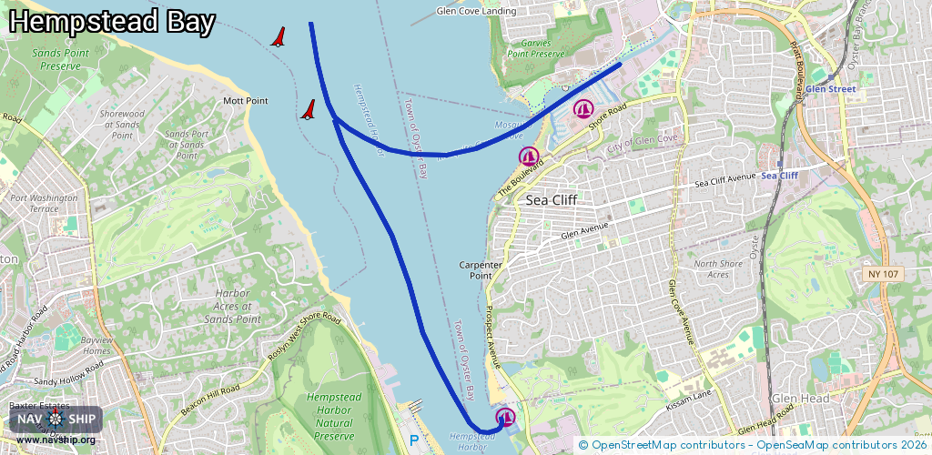
Waterway information

Kind:
Inland
Driving areas:
🌊 Atlantic Ocean🇺🇸 United States of America
Length:
6.3 km¹
¹River kilometers or bank length recorded in NavShip, including river arms and harbor entrances.
Availability:
Completely recorded
Recent Update: 29.09.2025²
² This date indicates when an adjustment last took place in the course of the body of water
Recorded:
Locks: 0
Harbours / marinas: 3
Bridges: 0
Berths: 0
Slipways: 0
Fuelstations: 0
Route:
Please wait, loading route graphic...
Request waterway overview map with symbol legend here (Link).
Information about data associated with this body of water (3 available):
Data by OpenSeaMap (c) OSM contributors, www.openseamap.org
| # | Kind | Coordinates | Name | Information |
|---|---|---|---|---|
| 1 | Marina | 40.8559,-73.64385 | 2025-11-10T05:04:40Z | Safe Harbor Glen Cove |
| 2 | Marina | 40.85247,-73.64912 | 2025-03-23T20:04:37Z | Sea Cliff Yacht Club +1 516-671-7374 https://seacliffyc.org/ |
| 3 | Marina | 40.83424,-73.65172 | 2025-12-31T19:24:36Z | Harry Tappen Marina |