Waterway information

Kind:
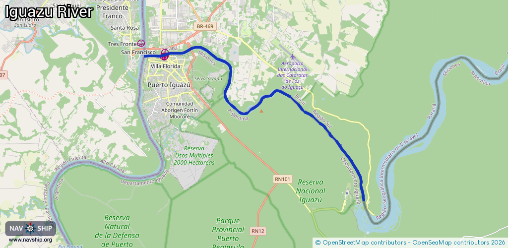
Inland
Driving areas:
🇦🇷 Argentina🇧🇷 Brazil🇵🇷 Puerto Rico
Length:
23.6 km¹
¹River kilometers or bank length recorded in NavShip, including river arms and harbor entrances.
Availability:
Completely recorded
Recent Update: 08.10.2024²
² This date indicates when an adjustment last took place in the course of the body of water
Recorded:
Locks: 0
Harbours / marinas: 4
Bridges: 0
Berths: 0
Slipways: 0
Fuelstations: 0
Route:
Please wait, loading route graphic...
Request waterway overview map with symbol legend here (Link).
Information about data associated with this body of water (4 available):
Data by OpenSeaMap (c) OSM contributors, www.openseamap.org
| # | Kind | Coordinates | Name | Information |
|---|---|---|---|---|
| 1 | Marina | -25.59076,-54.5791 | 2015-07-01T23:17:05Z | Foz do Iguaçu |
| 2 | Marina | -25.59292,-54.57932 | 2015-07-01T23:17:05Z | Puerto Iguazú |
| 3 | Marina | -25.59345,-54.57962 | 2024-11-08T20:18:41Z | Puerto Aguirre |
| 4 | Marina | -25.59346,-54.57989 | 2024-11-08T20:18:41Z | Puerto Iguazú |