Waterway information

Kind:
Lake
Driving areas:
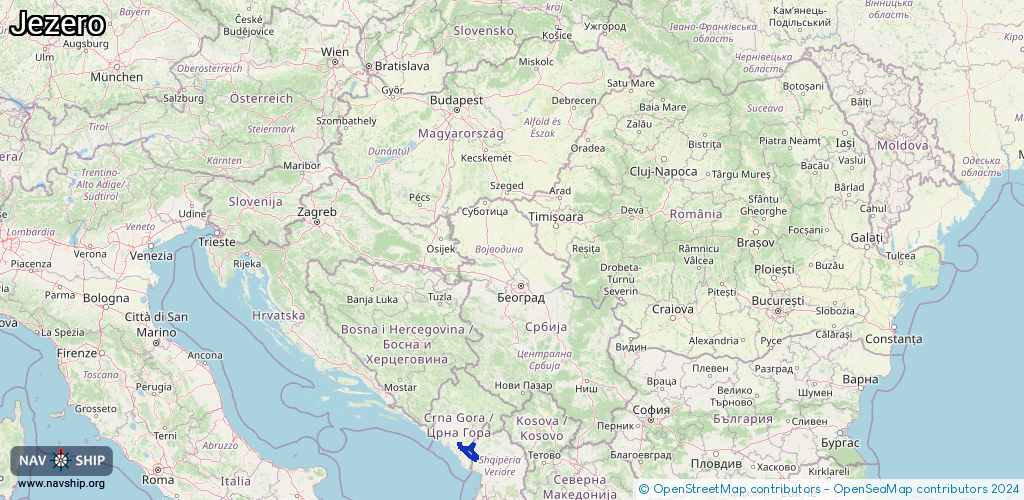
🇦🇱 Albania🇲🇪 Montenegro🌊 Sea Mediterranean🇸🇰 Slovakia
Length:
114.8 km¹
¹River kilometers or bank length recorded in NavShip, including river arms and harbor entrances.
Availability:
Completely recorded
Recent Update: 30.07.2025²
² This date indicates when an adjustment last took place in the course of the body of water
Recorded:
Locks: 0
Harbours / marinas: 4
Bridges: 0
Berths: 0
Slipways: 0
Fuelstations: 0
Route:
Please wait, loading route graphic...
Request waterway overview map with symbol legend here (Link).
Information about data associated with this body of water (4 available):
Data by OpenSeaMap (c) OSM contributors, www.openseamap.org
| # | Kind | Coordinates | Name | Information |
|---|---|---|---|---|
| 1 | Marina | 48.69544,21.28582 | 2024-02-21T07:47:42Z | Jachtárske stredisko mládeže |
| 2 | Marina | 42.24566,19.09129 | 2025-07-19T13:34:41Z | |
| 3 | Marina | 42.24653,19.09127 | 2025-07-19T13:34:41Z | |
| 4 | Marina | 42.24635,19.0917 | 2025-07-19T13:34:41Z | Virpazar |