Waterway information

Kind:
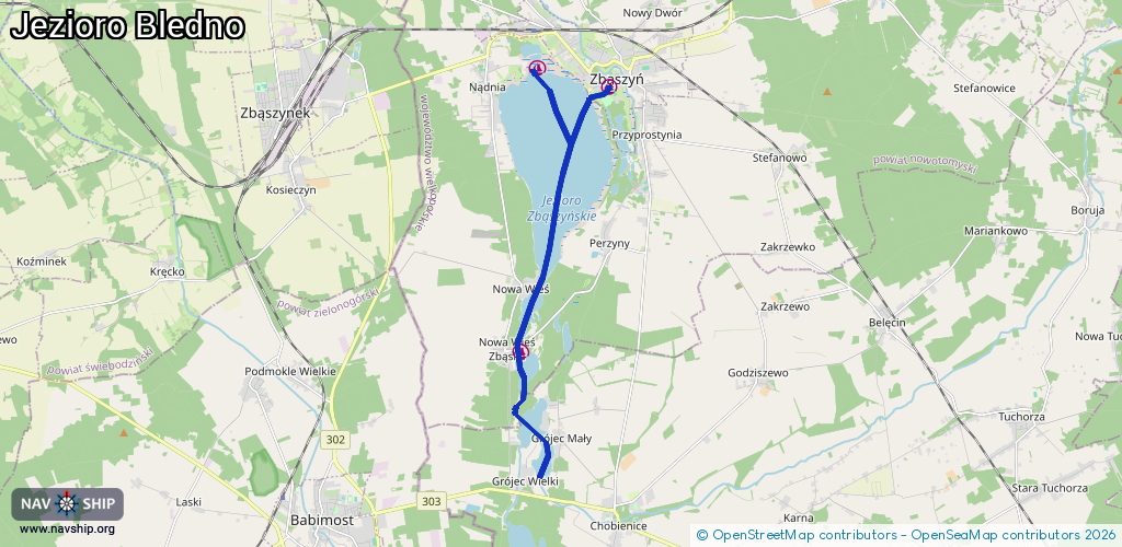
Inland
Driving areas:
🇵🇱 Poland
Length:
11.1 km¹
¹River kilometers or bank length recorded in NavShip, including river arms and harbor entrances.
Availability:
Completely recorded
Recent Update: 14.08.2025²
² This date indicates when an adjustment last took place in the course of the body of water
Recorded:
Locks: 0
Harbours / marinas: 3
Bridges: 0
Berths: 0
Slipways: 0
Fuelstations: 0
Route:
Please wait, loading route graphic...
Request waterway overview map with symbol legend here (Link).
Information about data associated with this body of water (3 available):
Data by OpenSeaMap (c) OSM contributors, www.openseamap.org
| # | Kind | Coordinates | Name | Information |
|---|---|---|---|---|
| 1 | Marina | 52.19757,15.89083 | 2024-09-20T20:26:35Z | U Marcina przystań wodna |
| 2 | Marina | 52.24847,15.91844 | 2021-07-31T18:28:21Z | Przystań Wodna |
| 3 | Marina | 52.25229,15.89622 | 2025-08-08T08:39:37Z | Zbąszyński Klub Żeglarski |