Waterway information

Kind:
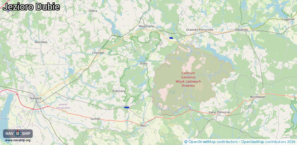
Inland
Driving areas:
🇵🇱 Poland
Length:
2.1 km¹
¹River kilometers or bank length recorded in NavShip, including river arms and harbor entrances.
Availability:
Completely recorded
Recent Update: 18.10.2023²
² This date indicates when an adjustment last took place in the course of the body of water
Recorded:
Locks: 0
Harbours / marinas: 0
Bridges: 0
Berths: 0
Slipways: 2
Fuelstations: 0
Route:
Please wait, loading route graphic...
Request waterway overview map with symbol legend here (Link).
Information about data associated with this body of water (2 available):
Data by OpenSeaMap (c) OSM contributors, www.openseamap.org
| # | Kind | Coordinates | Name | Information |
|---|---|---|---|---|
| 1 | Slipway | 53.50651,15.68288 | small_craft_facility | 2017-03-03T15:04:21Z https://commons.wikimedia.org/wiki/File:Jezioro_DUBIE_-_miejsce_wodowania_%C5%82odzi.png |
| 2 | Slipway | 53.31213,15.45642 | small_craft_facility | 2017-03-03T15:04:20Z https://commons.wikimedia.org/wiki/File:Jezioro_Sierakowskie.jpg |