Waterway information

Kind:
Inland
Driving areas:
🇵🇱 Poland
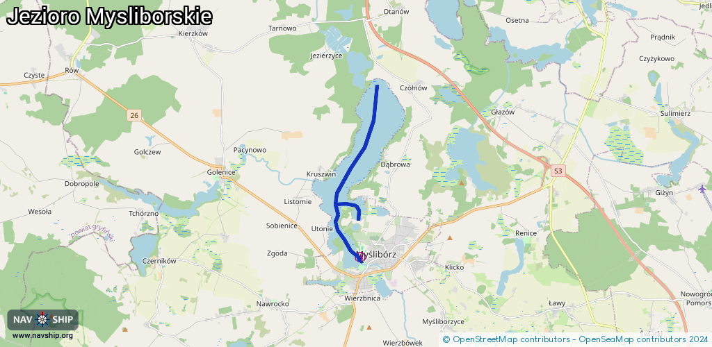
Length:
7.7 km¹
¹River kilometers or bank length recorded in NavShip, including river arms and harbor entrances.
Availability:
Completely recorded
Recent Update: 24.08.2023²
² This date indicates when an adjustment last took place in the course of the body of water
Recorded:
Locks: 0
Harbours / marinas: 1
Bridges: 0
Berths: 0
Slipways: 2
Fuelstations: 0
Route:
Please wait, loading route graphic...
Request waterway overview map with symbol legend here (Link).
Information about data associated with this body of water (3 available):
Data by OpenSeaMap (c) OSM contributors, www.openseamap.org
| # | Kind | Coordinates | Name | Information |
|---|---|---|---|---|
| 1 | Marina | 52.92392,14.85873 | 2017-03-04T15:53:52Z | Ośrodek Sportu i Rekreacji w Myśliborzu +48 95 747 25 12 |
| 2 | Slipway | 52.92421,14.85815 | small_craft_facility | 2017-03-03T15:04:19Z |
| 3 | Slipway | 52.93468,14.85738 | small_craft_facility | 2017-03-03T15:04:19Z |