Waterway information

Kind:
Inland
Driving areas:
🇵🇱 Poland
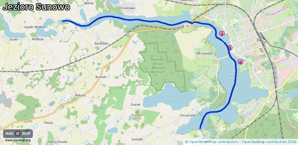
Length:
11.1 km¹
¹River kilometers or bank length recorded in NavShip, including river arms and harbor entrances.
Availability:
Completely recorded
Recent Update: 03.07.2023²
² This date indicates when an adjustment last took place in the course of the body of water
Recorded:
Locks: 1
Harbours / marinas: 3
Bridges: 0
Berths: 0
Slipways: 0
Fuelstations: 0
Route:
Please wait, loading route graphic...
Request waterway overview map with symbol legend here (Link).
Information about data associated with this body of water (3 available):
Data by OpenSeaMap (c) OSM contributors, www.openseamap.org
| # | Kind | Coordinates | Name | Information |
|---|---|---|---|---|
| 1 | Marina | 53.81725,22.35057 | 2017-03-03T14:53:19Z | |
| 2 | Marina | 53.82219,22.34424 | 2025-08-16T15:22:01Z | Smętek |
| 3 | Marina | 53.82714,22.33965 | 2025-01-24T20:53:46Z | Międzyszkolny ośrodek sportowy [email protected] +48876103769 |
| 3 | Marina | 53.82714,22.33965 | 2025-01-24T20:53:46Z | Międzyszkolny ośrodek sportowy [email protected] +48876103769 |