Waterway information

Kind:
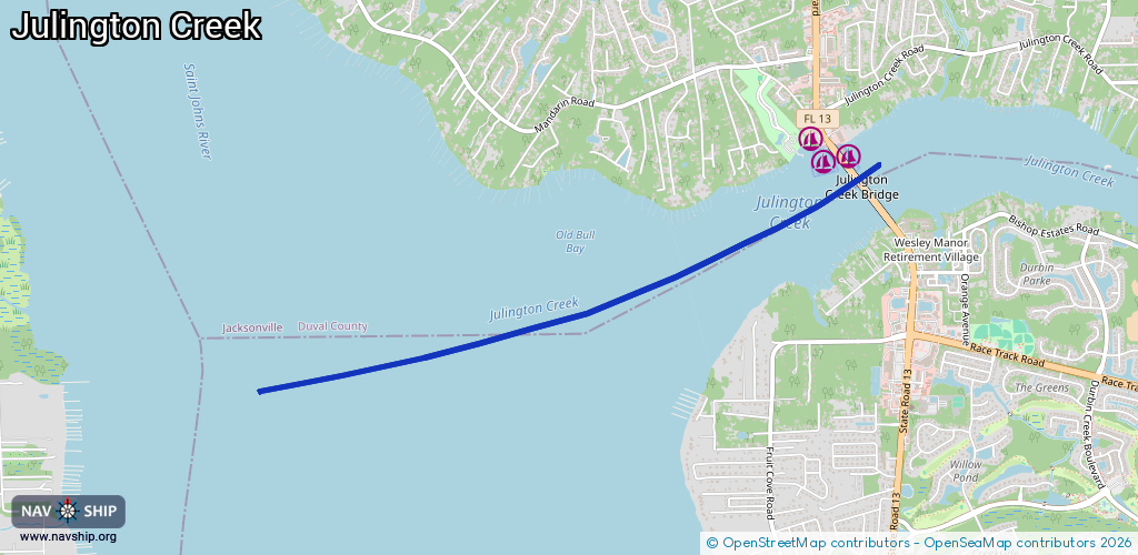
Inland
Driving areas:
🌊 Atlantic Ocean🇺🇸 United States of America
Length:
5 km¹
¹River kilometers or bank length recorded in NavShip, including river arms and harbor entrances.
Availability:
Completely recorded
Recent Update: 07.12.2023²
² This date indicates when an adjustment last took place in the course of the body of water
Recorded:
Locks: 0
Harbours / marinas: 3
Bridges: 0
Berths: 0
Slipways: 0
Fuelstations: 0
Route:
Please wait, loading route graphic...
Request waterway overview map with symbol legend here (Link).
Information about data associated with this body of water (3 available):
Data by OpenSeaMap (c) OSM contributors, www.openseamap.org
| # | Kind | Coordinates | Name | Information |
|---|---|---|---|---|
| 1 | Marina | 30.13454,-81.633 | 2025-11-23T19:00:20Z | Bull Bay Pier +1-904-268-5191 https://bull-bay-pier.business.sit e/ |
| 2 | Marina | 30.13343,-81.63212 | 2020-05-19T23:08:03Z | Mandarin Holiday Marina http://mandarinyachtclub.home.mindspring.com/ |
| 3 | Marina | 30.13352,-81.63023 | 2020-05-19T23:08:03Z | Julington Creek Pier 3 Marina And Dry Storage https://julingtoncreekpier3.net/ |