Waterway information

Kind:
Inland
Driving areas:
🇩🇪 Germany
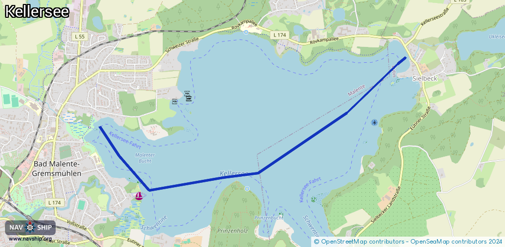
Length:
4.3 km¹
¹River kilometers or bank length recorded in NavShip, including river arms and harbor entrances.
Availability:
Completely recorded
Recent Update: 03.11.2023²
² This date indicates when an adjustment last took place in the course of the body of water
Recorded:
Locks: 0
Harbours / marinas: 1
Bridges: 0
Berths: 0
Slipways: 1
Fuelstations: 0
Route:
Please wait, loading route graphic...
Request waterway overview map with symbol legend here (Link).
Information about data associated with this body of water (2 available):
Data by OpenSeaMap (c) OSM contributors, www.openseamap.org
| # | Kind | Coordinates | Name | Information |
|---|---|---|---|---|
| 1 | Marina | 54.16813,10.57372 | 2023-09-28T00:06:07Z | SVMG [email protected] +49 4523 2802 https://www.svmg.de |
| 2 | Slipway | 54.16792,10.57404 | small_craft_facility | 2023-09-27T23:41:13Z |