Waterway information

Kind:
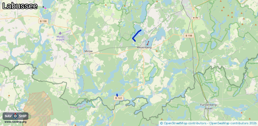
Inland
Driving areas:
🇩🇪 Germany
Length:
3.5 km¹
¹River kilometers or bank length recorded in NavShip, including river arms and harbor entrances.
Availability:
Completely recorded
Recent Update: 29.07.2025²
² This date indicates when an adjustment last took place in the course of the body of water
Recorded:
Locks: 0
Harbours / marinas: 1
Bridges: 0
Berths: 0
Slipways: 0
Fuelstations: 0
Route:
Please wait, loading route graphic...
Request waterway overview map with symbol legend here (Link).
Information about data associated with this body of water (1 available):
Data by OpenSeaMap (c) OSM contributors, www.openseamap.org
| # | Kind | Coordinates | Name | Information |
|---|---|---|---|---|
| 1 | Marina | 53.20188,12.89593 | 2023-01-14T20:58:56Z | Marina Campingplatz Labussee [email protected] +49 39828 20272 http://www.camp-am-labussee.de/ http://www.camp-am-labussee.de/Bilder/Bilder/Imgp1516.jpg |