Waterway information

Kind:
Inland
Driving areas:
🇦🇷 Argentina
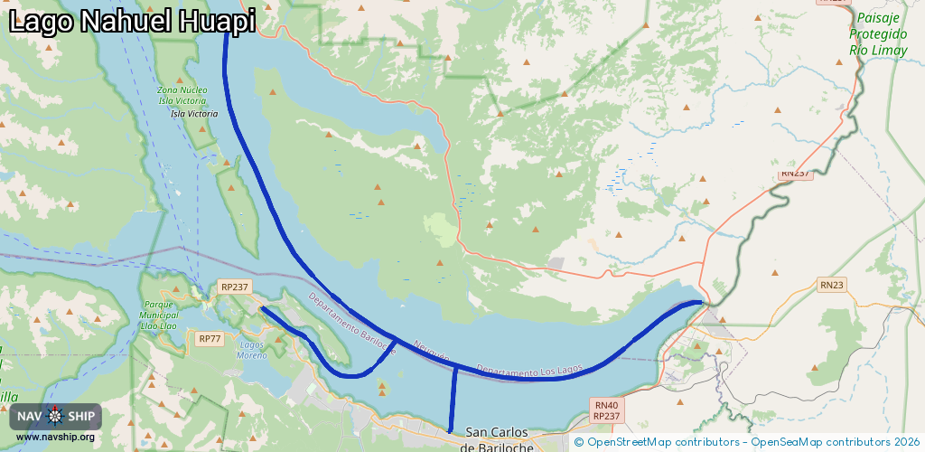
Length:
61.2 km¹
¹River kilometers or bank length recorded in NavShip, including river arms and harbor entrances.
Availability:
Completely recorded
Recent Update: 05.11.2024²
² This date indicates when an adjustment last took place in the course of the body of water
Recorded:
Locks: 0
Harbours / marinas: 4
Bridges: 0
Berths: 0
Slipways: 0
Fuelstations: 0
Route:
Please wait, loading route graphic...
Request waterway overview map with symbol legend here (Link).
Information about data associated with this body of water (4 available):
Data by OpenSeaMap (c) OSM contributors, www.openseamap.org
| # | Kind | Coordinates | Name | Information |
|---|---|---|---|---|
| 1 | Marina | -41.12852,-71.34759 | 2025-01-11T20:57:24Z | Club Nautico Bariloche |
| 2 | Marina | -41.09213,-71.44977 | 2024-02-10T20:11:52Z | Amarras del Nahuel http://www.pinaresgolf.com.ar |
| 3 | Marina | -41.0718,-71.46943 | 2021-08-06T07:35:16Z | Puerto Pireo |
| 4 | Marina | -41.05733,-71.48936 | 2020-09-11T22:05:50Z | Puerto Península |