Waterway information

Kind:
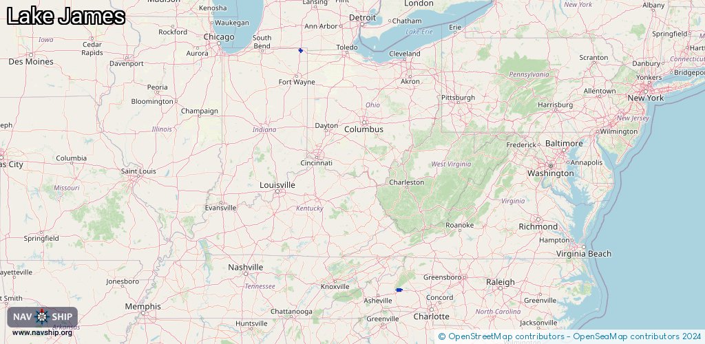
Inland
Driving areas:
🇺🇸 United States of America
Length:
23.5 km¹
¹River kilometers or bank length recorded in NavShip, including river arms and harbor entrances.
Availability:
Completely recorded
Recent Update: 27.02.2024²
² This date indicates when an adjustment last took place in the course of the body of water
Recorded:
Locks: 0
Harbours / marinas: 3
Bridges: 0
Berths: 0
Slipways: 0
Fuelstations: 0
Route:
Please wait, loading route graphic...
Request waterway overview map with symbol legend here (Link).
Information about data associated with this body of water (3 available):
Data by OpenSeaMap (c) OSM contributors, www.openseamap.org
| # | Kind | Coordinates | Name | Information |
|---|---|---|---|---|
| 1 | Marina | 35.7482,-81.96682 | 2026-01-14T21:33:20Z | Black Bear Boat Ramp |
| 2 | Marina | 35.74908,-81.83108 | 2022-12-10T14:58:26Z | Mimosa Boat Landing +18285841886 |
| 3 | Marina | 41.70852,-85.03993 | 2023-03-01T20:44:48Z |