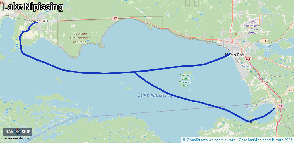
Waterway information

Kind:
Inland
Driving areas:
🇨🇦 Canada
Length:
75.9 km¹
¹River kilometers or bank length recorded in NavShip, including river arms and harbor entrances.
Availability:
Completely recorded
Recent Update: 09.04.2024²
² This date indicates when an adjustment last took place in the course of the body of water
Recorded:
Locks: 0
Harbours / marinas: 3
Bridges: 0
Berths: 0
Slipways: 0
Fuelstations: 0
Route:
Please wait, loading route graphic...
Request waterway overview map with symbol legend here (Link).
Information about data associated with this body of water (3 available):
Data by OpenSeaMap (c) OSM contributors, www.openseamap.org
| # | Kind | Coordinates | Name | Information |
|---|---|---|---|---|
| 1 | Marina | 46.2215,-79.36594 | 2020-07-26T14:14:16Z | Harpers Marina |
| 2 | Marina | 46.31173,-79.47128 | 2020-12-11T17:23:20Z | |
| 3 | Marina | 46.33476,-79.97347 | 2023-07-22T16:23:48Z | Starlite Marina [email protected] +1 7057530249 www.starlitemarina.com |