Waterway information

Kind:
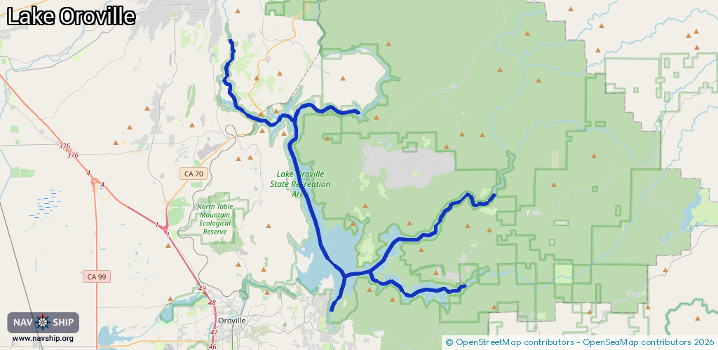
Inland
Driving areas:
🇺🇸 United States of America
Length:
63.6 km¹
¹River kilometers or bank length recorded in NavShip, including river arms and harbor entrances.
Availability:
Completely recorded
Recent Update: 10.07.2025²
² This date indicates when an adjustment last took place in the course of the body of water
Recorded:
Locks: 0
Harbours / marinas: 2
Bridges: 0
Berths: 0
Slipways: 0
Fuelstations: 1
Route:
Please wait, loading route graphic...
Request waterway overview map with symbol legend here (Link).
Information about data associated with this body of water (3 available):
Data by OpenSeaMap (c) OSM contributors, www.openseamap.org
| # | Kind | Coordinates | Name | Information |
|---|---|---|---|---|
| 1 | Marina | 39.676,-121.55972 | 2025-07-09T00:03:18Z | Lake Oroville Marina https://www.limesaddlemarina.com/ |
| 2 | Marina | 39.53415,-121.45601 | 2025-07-09T00:03:18Z | Bidwell Canyon Marina https://www.bidwellcanyonmarina.com/ |
| 3 | Fuel station | 39.53395,-121.45493 | 2025-07-09T00:03:18Z |