Waterway information

Kind:
Inland
Driving areas:
🇺🇸 United States of America
Length:
58 km¹
¹River kilometers or bank length recorded in NavShip, including river arms and harbor entrances.
Availability:
Completely recorded
Recent Update: 13.02.2024²
² This date indicates when an adjustment last took place in the course of the body of water
Recorded:
Locks: 0
Harbours / marinas: 1
Bridges: 0
Berths: 0
Slipways: 8
Fuelstations: 0
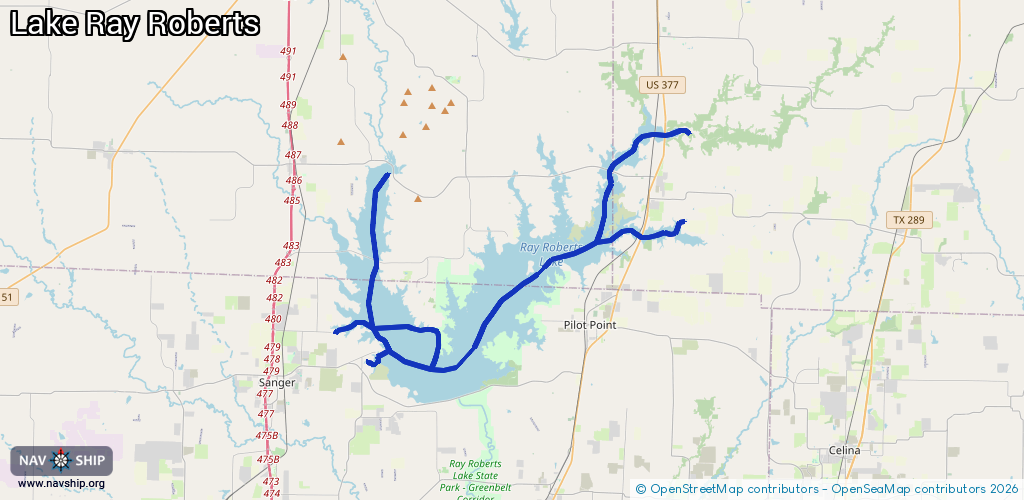
Route:
Please wait, loading route graphic...
Request waterway overview map with symbol legend here (Link).
Information about data associated with this body of water (9 available):
Data by OpenSeaMap (c) OSM contributors, www.openseamap.org
| # | Kind | Coordinates | Name | Information |
|---|---|---|---|---|
| 1 | Marina | 33.3766,-97.10875 | 2024-04-24T13:44:14Z | |
| 2 | Slipway | 33.38982,-97.06294 | small_craft_facility | 2013-05-08T16:27:41Z |
| 3 | Slipway | 33.39163,-97.13462 | small_craft_facility | 2013-05-08T16:27:41Z |
| 4 | Slipway | 33.38719,-97.10722 | small_craft_facility | 2024-04-24T13:21:31Z |
| 5 | Slipway | 33.37893,-97.1057 | small_craft_facility | 2013-05-08T16:27:41Z |
| 6 | Slipway | 33.37473,-97.10939 | small_craft_facility | 2019-03-07T21:12:09Z |
| 7 | Slipway | 33.37532,-97.11115 | small_craft_facility | 2013-05-08T16:27:41Z |
| 8 | Slipway | 33.43005,-97.10485 | small_craft_facility | 2017-03-21T14:04:04Z |
| 9 | Slipway | 33.37851,-97.03196 | small_craft_facility | 2019-03-07T21:12:09Z |