Waterway information

Kind:
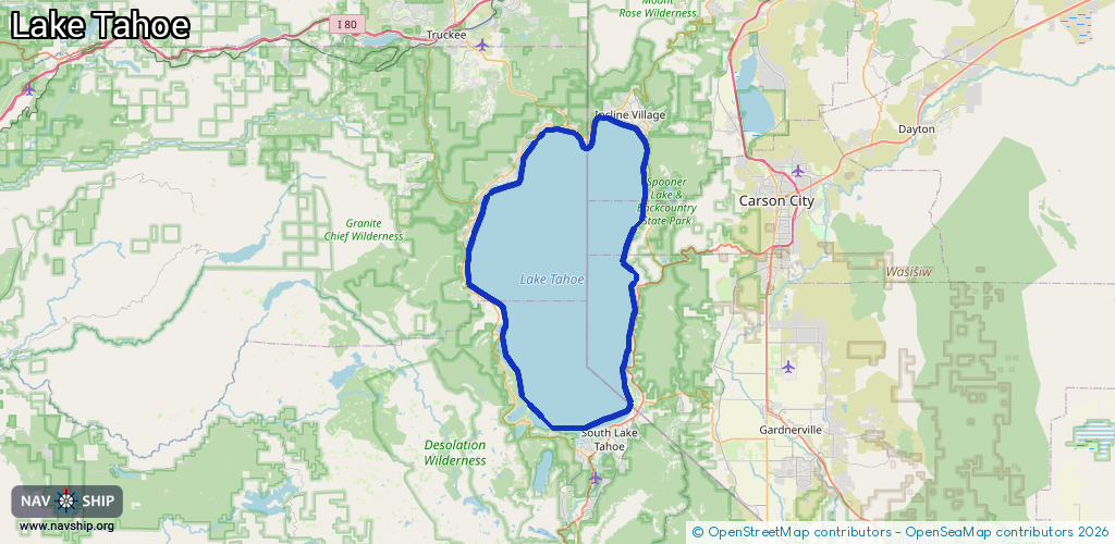
Lake
Driving areas:
🇺🇸 United States of America
Length:
95.3 km¹
¹River kilometers or bank length recorded in NavShip, including river arms and harbor entrances.
Availability:
Completely recorded
Recent Update: 07.03.2024²
² This date indicates when an adjustment last took place in the course of the body of water
Recorded:
Locks: 0
Harbours / marinas: 2
Bridges: 0
Berths: 0
Slipways: 0
Fuelstations: 0
Route:
Please wait, loading route graphic...
Request waterway overview map with symbol legend here (Link).
Information about data associated with this body of water (2 available):
Data by OpenSeaMap (c) OSM contributors, www.openseamap.org
| # | Kind | Coordinates | Name | Information |
|---|---|---|---|---|
| 1 | Marina | 39.2261,-120.08117 | 2024-05-24T16:25:48Z | |
| 2 | Marina | 39.1718,-120.13753 | 2024-11-25T09:50:31Z | Tahoe City Marina https://www.tahoecitymarina.com/ |