Waterway information

Kind:
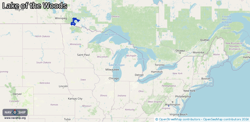
Lake
Driving areas:
🇨🇦 Canada🇺🇸 United States of America
Length:
430.7 km¹
¹River kilometers or bank length recorded in NavShip, including river arms and harbor entrances.
Availability:
Completely recorded
Recent Update: 02.09.2025²
² This date indicates when an adjustment last took place in the course of the body of water
Recorded:
Locks: 0
Harbours / marinas: 9
Bridges: 0
Berths: 0
Slipways: 1
Fuelstations: 0
Route:
Please wait, loading route graphic...
Request waterway overview map with symbol legend here (Link).
Information about data associated with this body of water (10 available):
Data by OpenSeaMap (c) OSM contributors, www.openseamap.org
| # | Kind | Coordinates | Name | Information |
|---|---|---|---|---|
| 1 | Marina | 49.67107,-94.89304 | 2023-07-30T05:16:41Z | |
| 2 | Marina | 49.71252,-94.80979 | 2025-07-29T00:33:34Z | Rockeries Marina |
| 3 | Marina | 49.71258,-94.80639 | 2025-07-29T00:33:34Z | Pye's Landing Marina and Campground |
| 4 | Marina | 49.40819,-94.09364 | 2023-01-04T20:54:02Z | Swensons Marina |
| 5 | Marina | 49.03523,-95.23125 | 2021-11-25T02:54:01Z | |
| 6 | Marina | 49.03416,-95.23197 | 2020-11-12T19:37:07Z | |
| 7 | Marina | 38.3514,-77.7574 | 2021-11-07T02:58:18Z | |
| 8 | Marina | 38.33408,-77.7735 | 2021-11-07T02:58:18Z | |
| 9 | Marina | 49.62492,-94.98471 | 2024-07-17T00:08:20Z | |
| 10 | Slipway | 38.35133,-77.75721 | Unknown | 2021-11-07T02:58:18Z |