Waterway information

Kind:
Lower
Driving areas:
🇺🇸 United States of America
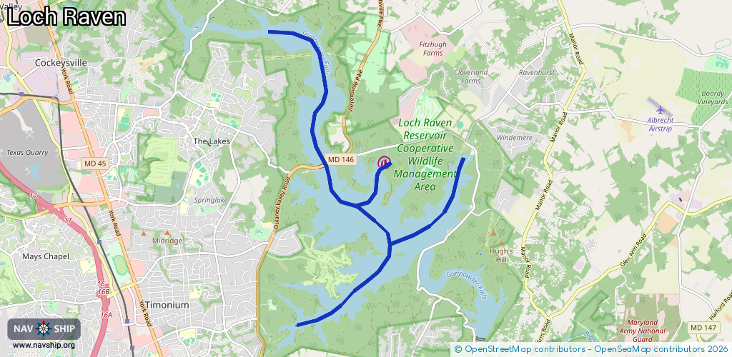
Length:
12.4 km¹
¹River kilometers or bank length recorded in NavShip, including river arms and harbor entrances.
Availability:
Completely recorded
Recent Update: 22.03.2024²
² This date indicates when an adjustment last took place in the course of the body of water
Recorded:
Locks: 0
Harbours / marinas: 1
Bridges: 0
Berths: 0
Slipways: 1
Fuelstations: 0
Route:
Please wait, loading route graphic...
Request waterway overview map with symbol legend here (Link).
Information about data associated with this body of water (2 available):
Data by OpenSeaMap (c) OSM contributors, www.openseamap.org
| # | Kind | Coordinates | Name | Information |
|---|---|---|---|---|
| 1 | Marina | 39.46316,-76.56663 | 2021-06-27T17:18:07Z | Loch Raven Fishing Center +1-410-887-7692 https://www.baltimorecountymd.gov/departments/recreation/countyparks/fishingcenter/ |
| 2 | Slipway | 39.4628,-76.56652 | Unknown | 2021-06-27T17:18:07Z Loch Raven Fishing Center |